Area Overview for NR10 5JQ
Photos of NR10 5JQ
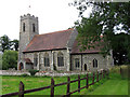
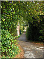
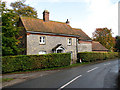
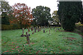
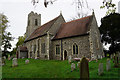
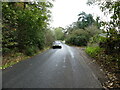
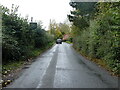
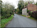
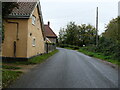
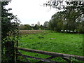
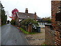
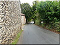
75 photos from this area
Area Information
Key information about the NR10 5JQ including its size, population, and administrative classification.
- Area Type
- Postcode
- Area Size
- 27.3 hectares
- Population
- 1522
- Population Density
- 139 people/km²
House Prices in NR10 5JQ
11
Properties
£655,000
Average Sold Price
£545,000
Lowest Price
£765,000
Highest Price
Showing 11 properties
| Address | Type | Beds | Baths | Last Sale Price | Last Sale Date | |
|---|---|---|---|---|---|---|
| Beechwood Cottage, The Street, Lamas, NR10 5JQ | Bungalow | - | - | £545,000 | Apr 2023 | |
| Lamas Hall, The Street, Lamas, NR10 5JQ | house | - | - | £765,000 | Dec 2000 | |
| Hall Farm, The Street, Lamas, NR10 5JQ | Farm | 4 | 3 | - | - | |
| Lamas Manor, The Street, Lamas, NR10 5JQ | Detached | 7 | - | - | - | |
| The Coach House, Lamas Hall, The Street, Lamas, NR10 5JQ | house | 5 | - | - | - | |
| The Old Brew House, Lamas Hall, The Street, Lamas, NR10 5JQ | Terraced | - | - | - | - | |
| Annexe, The Coach House, The Street, Lamas, NR10 5JQ | Flat | - | - | - | - | |
| Tennis 56M From The Old Brew House 84M From Unnamed Road, Old Hall Gardens, Lamas, NR10 5JQ | Leisure | - | - | - | - | |
| River Barn, Hall Farm, The Street, Lamas, NR10 5JQ | house | - | - | - | - | |
| The Old Barn, Lamas Hall, The Street, Lamas, NR10 5JQ | house | - | - | - | - |
Page 1 of 2
Energy Efficiency in NR10 5JQ
Amenities
Schools
| Rank | School | Type | Entry gender | Ages |
|---|
Explore more schools in this area
Go to Schools tabDemographics
Household Size
Two person
most common
Accommodation Type
Houses
most common
Tenure
76
majority
Ethnic Group
White
most common
Religion
N/A
most common
Household Composition
N/A
most common
Age
47
median
Adults (30-64 years)
most common
Household Deprivation
N/A
with no deprivation
NS-SEC
33
in Lower managerial occupations
Explore more demographic insights in this area
Go to Demographics tabPlanning
Planning Constraints
- Flood RiskPremium
- Ramsar Wetland SitesPremium
- Area of Outstanding Natural BeautyPremium
- Protected Nature ReservePremium
- Protected WoodlandPremium