Area Overview for NR10 5AU
Photos of NR10 5AU
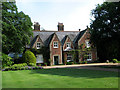
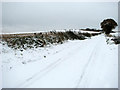
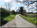
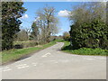
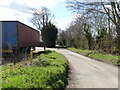
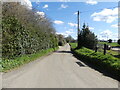
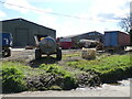
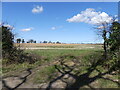
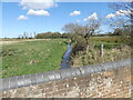
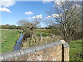
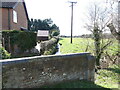
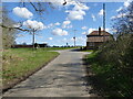
51 photos from this area
Area Information
Key information about the NR10 5AU including its size, population, and administrative classification.
- Area Type
- Postcode
- Area Size
- 65.2 hectares
- Population
- 1160
- Population Density
- 51 people/km²
House Prices in NR10 5AU
9
Properties
£337,500
Average Sold Price
£240,000
Lowest Price
£510,000
Highest Price
Showing 9 properties
| Address | Type | Beds | Baths | Last Sale Price | Last Sale Date | |
|---|---|---|---|---|---|---|
| Willow Farm, Swanton Abbott Road, Skeyton, NR10 5AU | Detached | 4 | 1 | £510,000 | Nov 2018 | |
| The Crooked Cottage, Swanton Abbott Road, Skeyton, NR10 5AU | Cottage | 3 | - | £262,500 | Sep 2013 | |
| Crossways, Swanton Abbott Road, Skeyton, NR10 5AU | Flat | - | - | £240,000 | Oct 2001 | |
| Plum Tree Barn, Swanton Abbott Road, Skeyton, NR10 5AU | Detached | - | - | - | - | |
| 1-2, Grove Cottages, Swanton Abbott Road, Skeyton, NR10 5AU | house | 3 | - | - | - | |
| 4, Grove Cottages, Swanton Abbott Road, Skeyton, NR10 5AU | house | - | - | - | - | |
| Elder Cottage, Swanton Abbott Road, Skeyton, NR10 5AU | Detached | - | - | - | - | |
| 3, Grove Cottages, Swanton Abbott Road, Skeyton, NR10 5AU | house | - | - | - | - | |
| The Grain Store, Swanton Abbott Road, Skeyton, NR10 5AU | house | - | - | - | - |
Energy Efficiency in NR10 5AU
Amenities
Schools
| Rank | School | Type | Entry gender | Ages |
|---|
Explore more schools in this area
Go to Schools tabDemographics
Household Size
Two person
most common
Accommodation Type
Houses
most common
Tenure
79
majority
Ethnic Group
White
most common
Religion
N/A
most common
Household Composition
N/A
most common
Age
47
median
Adults (30-64 years)
most common
Household Deprivation
N/A
with no deprivation
NS-SEC
35
in Lower managerial occupations
Explore more demographic insights in this area
Go to Demographics tabPlanning
Planning Constraints
- Flood RiskPremium
- Ramsar Wetland SitesPremium
- Area of Outstanding Natural BeautyPremium
- Protected Nature ReservePremium
- Protected WoodlandPremium