Area Overview for NR10 4PN
Photos of NR10 4PN
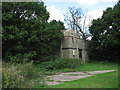
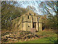
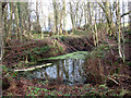
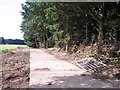
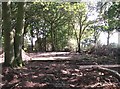
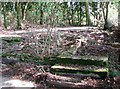
49 photos from this area
Area Information
Key information about the NR10 4PN including its size, population, and administrative classification.
- Area Type
- Postcode
- Area Size
- 1.3 km²
- Population
- 1259
- Population Density
- 29 people/km²
House Prices in NR10 4PN
76
Properties
£598,567
Average Sold Price
£470,000
Lowest Price
£728,200
Highest Price
Showing 76 properties
| Address | Type | Beds | Baths | Last Sale Price | Last Sale Date | |
|---|---|---|---|---|---|---|
| Keepers Cottage, Haveringland Hall Park, Haveringland, NR10 4PN | Detached | 5 | 2 | £728,200 | Apr 2025 | |
| Oaklands Farm, Haveringland Road, Haveringland, NR10 4PN | house | 7 | - | £597,500 | Jan 2011 | |
| Hall Gardens, Haveringland Hall Park, Haveringland, NR10 4PN | hotel | 2 | - | £470,000 | Jan 2011 | |
| South Lodge, Norwich Road, Haveringland, NR10 4PN | Detached | 5 | 2 | - | - | |
| 5 Woodlands Park, Haveringland, NR10 4PN | Mobile Home | 3 | 1 | - | - | |
| 4, The Lodges, Haveringland Hall Park, Haveringland, NR10 4PN | Mobile Home | 2 | 1 | - | - | |
| Barn Owl Cottage, Haveringland Hall Coach House, Haveringland Hall Park, Haveringland, NR10 4PN | Detached | 14 | 2 | - | - | |
| 26, Church View, Haveringland Hall Park, Haveringland, NR10 4PN | Mobile Home | 2 | 1 | - | - | |
| 1, Lakeside, Haveringland Hall Park, Haveringland, NR10 4PN | Mobile Home | 2 | 2 | - | - | |
| 2 Woodlands Park, Haveringland, NR10 4PN | Mobile Home | 2 | 1 | - | - |
Page 1 of 8
Energy Efficiency in NR10 4PN
Amenities
Schools
| Rank | School | Type | Entry gender | Ages |
|---|
Explore more schools in this area
Go to Schools tabDemographics
Household Size
Two person
most common
Accommodation Type
Houses
most common
Tenure
75
majority
Ethnic Group
White
most common
Religion
N/A
most common
Household Composition
N/A
most common
Age
47
median
Adults (30-64 years)
most common
Household Deprivation
N/A
with no deprivation
NS-SEC
36
in Lower managerial occupations
Explore more demographic insights in this area
Go to Demographics tabPlanning
Planning Constraints
- Flood RiskPremium
- Ramsar Wetland SitesPremium
- Area of Outstanding Natural BeautyPremium
- Protected Nature ReservePremium
- Protected WoodlandPremium