Area Overview for NR10 3RQ
Photos of NR10 3RQ
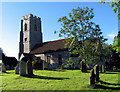
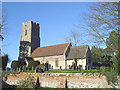

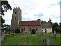
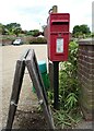
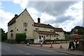
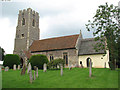
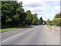
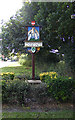
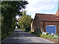
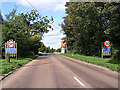
29 photos from this area
Area Information
Key information about the NR10 3RQ including its size, population, and administrative classification.
- Area Type
- Postcode
- Area Size
- 9721 m²
- Population
- 1486
- Population Density
- 3733 people/km²
House Prices in NR10 3RQ
18
Properties
£127,634
Average Sold Price
£74,000
Lowest Price
£245,000
Highest Price
Showing 18 properties
| Address | Type | Beds | Baths | Last Sale Price | Last Sale Date | |
|---|---|---|---|---|---|---|
| In Der Ecke, 20 Bracken Close, Horsford, NR10 3RQ | Detached | - | - | £130,000 | Apr 2025 | |
| 8 Bracken Close, Horsford, NR10 3RQ | Terraced | 3 | 1 | £225,000 | Jan 2018 | |
| 9 Bracken Close, Horsford, NR10 3RQ | Detached | 4 | 2 | £245,000 | Oct 2015 | |
| 2 Bracken Close, Horsford, NR10 3RQ | house | - | - | £137,500 | Jul 2009 | |
| 11 Bracken Close, Horsford, NR10 3RQ | Detached | - | - | £194,000 | Nov 2005 | |
| Hawthorns, 3 Bracken Close, Horsford, NR10 3RQ | Detached | 3 | 1 | £166,500 | Apr 2005 | |
| 16 Bracken Close, Horsford, NR10 3RQ | Detached | 4 | 2 | £169,950 | Aug 2002 | |
| Birch Cottage, 4 Bracken Close, Horsford, NR10 3RQ | house | - | - | £86,000 | Apr 2002 | |
| 6 Bracken Close, Horsford, NR10 3RQ | Terraced | - | - | £76,000 | May 2001 | |
| 5 Bracken Close, Horsford, NR10 3RQ | Detached | - | - | £94,950 | May 2001 |
Page 1 of 2
Energy Efficiency in NR10 3RQ
Amenities
Schools
| Rank | School | Type | Entry gender | Ages |
|---|
Explore more schools in this area
Go to Schools tabDemographics
Household Size
Family (3-5 people)
most common
Accommodation Type
Houses
most common
Tenure
81
majority
Ethnic Group
White
most common
Religion
N/A
most common
Household Composition
N/A
most common
Age
47
median
Adults (30-64 years)
most common
Household Deprivation
N/A
with no deprivation
NS-SEC
36
in Lower managerial occupations
Explore more demographic insights in this area
Go to Demographics tabPlanning
Planning Constraints
- Flood RiskPremium
- Ramsar Wetland SitesPremium
- Area of Outstanding Natural BeautyPremium
- Protected Nature ReservePremium
- Protected WoodlandPremium