Area Overview for Wymondham
Photos of Wymondham
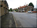
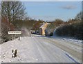
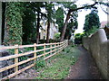
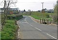
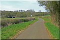
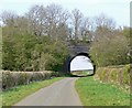
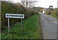
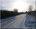
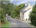

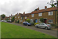
Area Information
Wymondham is a small rural village within the Borough of Melton in Leicestershire, covering an area of 19.1 km². The community maintains a quiet, traditional atmosphere rooted in its history, first documented through the 13th-century parish church of St Peter's. This Early English building, featuring later Perpendicular additions to the tower and spire, stands as a central landmark in a setting that includes a converted windmill turned visitor attraction with tea rooms and craft shops. The village sits near the borders with Lincolnshire and Rutland, offering residents proximity to locations such as Garthorpe, Teigh, and South Witham without the constraints of urban density. You will find that daily life here revolves around local amenities like the Berkeley Arms pub and a large playing field named after Sir John Sedley. A part-time mobile Post Office visits twice weekly, reinforcing the close-knit nature of the settlement. The area encompasses the nearby hamlet of Edmondthorpe, which together form a single civil parish. While the village lacks active rail links, with the last passenger service ending at the Edmondthorpe and Wymondham station in 1959, the remaining railway heritage includes the Grade II-listed goods shed. Living in Wymondham means embracing a slower pace of life surrounded by remnants of the disused Midland and Great Northern Joint Railway and natural green spaces like the Sir John Sedley playing field.
- Area Type
- District Borough Unitary Ward
- Area Size
- 19.1 km²
- Population
- Not available
- Population Density
- Not available
Demographics
The community profile of Wymondham reflects its status as a retirement and rural village. Census data indicates a median age of 70, which defines the demographic character of the area. This high median age suggests a population skew heavily towards older residents, creating a neighbourhood where the Total age range is the most commonly recorded category in the available statistics. While specific breakdowns for younger cohorts are not highlighted, the primary composition clearly centres on an older demographic. Home ownership stands at 53%, indicating that slightly fewer than half of the residents own their principal dwelling. You should expect a mix of leased and owned properties, given this ownership split. Ethnicity and religious affiliation figures are recorded as Total in the dataset, pointing to a homogenous community typical of historic rural retreats in the East Midlands. Household composition data lists Total, reflecting the aggregate nature of the census return for this specific parish of 675 residents. The area's character remains close-knit, with a significant portion of the population likely living independently or in family units linked to the local amenities and services.
Household Size
Accommodation Type
Tenure
Ethnic Group
Religion
Household Composition
Age
Household Deprivation
NS-SEC
Explore more demographic insights in this area
Go to Demographics tabPlanning
Planning Constraints
- Flood RiskPremium
- Ramsar Wetland SitesPremium
- Area of Outstanding Natural BeautyPremium
- Protected Nature ReservePremium
- Protected WoodlandPremium