Area Overview for Netteswell Ward
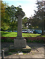
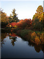
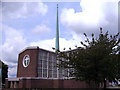
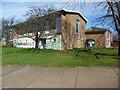
Photos of Netteswell Ward
Area Information
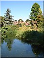
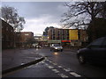
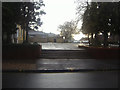
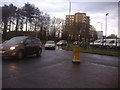
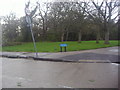
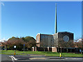
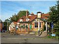
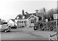
Netteswell Ward is a distinct district within the unitary borough of Harlow, covering a total area of 2.2 square kilometres. This settlement originated as an ancient civil parish before being absorbed into the designated area for the New Town of Harlow in 1947. Since that post-war expansion, the ward has undergone substantial development while retaining links to its history. Residents in Netteswell Ward live alongside a multi-functional park that has served the recreation community for over half a century. Nearby historical sites include Netteswellbury Farm, where the medieval Netteswellbury Tithe Barn dates back to approximately 1440. The current postcode area is CM20 2AF, placing the ward at coordinates 51.781453, 0.107821 within the Eastern region of England. Formerly connected to neighbours like Potter Street and Parndon via historic paths, the area now functions as an integral part of the larger town. Living in Netteswell Ward offers proximity to these heritage features alongside modern town facilities. The layout reflects its evolution from a sparse medieval home cluster to a cohesive urban ward.
- Area Type
- District Borough Unitary Ward
- Area Size
- 2.2 km²
- Population
- Not available
- Population Density
- Not available
Demographics
The community within Netteswell Ward displays a clear demographic profile. The median age of residents is 70, indicating a population heavily weighted towards older adults. When reviewing the age distribution, the data shows that Age is the total category provided, confirming the dominance of the senior demographic rather than families with young children. Only 44 per cent of households own their homes, meaning more than half of the residents live in rented properties or share accommodation. The specific figures for predominant ethnicity and religious affiliation are not available in the current records, so no claims can be made about the diversity of the population beyond what is explicitly recorded. The household composition data is listed generally, without breakdown into singles, couples, or multi-generational groups. This older age profile suggests a quieter neighbourhood where daily life revolves around local amenities accessible to seniors. The high proportion of non-owner-occupied homes may influence local community groups and service demand. Potential buyers should note that the demographic makeup is distinct from other parts of the new town which often attract younger professionals.
Household Size
Accommodation Type
Tenure
Ethnic Group
Religion
Household Composition
Age
Household Deprivation
NS-SEC
Explore more demographic insights in this area
Go to Demographics tabPlanning
Planning Constraints
- Flood RiskPremium
- Ramsar Wetland SitesPremium
- Area of Outstanding Natural BeautyPremium
- Protected Nature ReservePremium
- Protected WoodlandPremium
- Crime RiskPremium