Area Overview for MK45 5HD
Photos of MK45 5HD
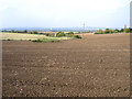
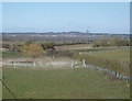
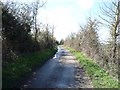
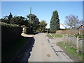
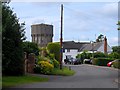
12 photos from this area
Area Information
Key information about the MK45 5HD including its size, population, and administrative classification.
- Area Type
- Postcode
- Area Size
- 6.2 hectares
- Population
- 2537
- Population Density
- 215 people/km²
House Prices in MK45 5HD
23
Properties
£596,714
Average Sold Price
£107,500
Lowest Price
£1,330,000
Highest Price
Showing 23 properties
| Address | Type | Beds | Baths | Last Sale Price | Last Sale Date | |
|---|---|---|---|---|---|---|
| 77 Church Road, Pulloxhill, MK45 5HD | house | 3 | - | £925,000 | Jun 2023 | |
| The Old Vicarage, Church Road, Pulloxhill, MK45 5HD | house | - | - | £1,300,000 | Aug 2022 | |
| Rectory Farm, Church Road, Pulloxhill, MK45 5HD | Detached | - | - | £1,330,000 | Aug 2021 | |
| 25 Church Road, Pulloxhill, MK45 5HD | Detached | 4 | 1 | £487,000 | Mar 2021 | |
| 79 Church Road, Pulloxhill, MK45 5HD | house | - | - | £527,500 | Jul 2020 | |
| 7 Church Road, Pulloxhill, MK45 5HD | Detached | 4 | 1 | £630,000 | Feb 2018 | |
| 23 Church Road, Pulloxhill, MK45 5HD | Bungalow | 4 | - | £450,000 | Aug 2017 | |
| 9 Church Road, Pulloxhill, MK45 5HD | Detached | 4 | - | £465,000 | Oct 2014 | |
| Little Foxes, Church Road, Pulloxhill, MK45 5HD | Detached | 4 | - | £380,000 | Jul 2014 | |
| Cedar Heights, Church Road, Pulloxhill, MK45 5HD | Detached | 3 | - | £660,000 | Jun 2014 |
Page 1 of 3
Energy Efficiency in MK45 5HD
Amenities
Schools
| Rank | School | Type | Entry gender | Ages |
|---|
Explore more schools in this area
Go to Schools tabDemographics
Household Size
Family (3-5 people)
most common
Accommodation Type
Houses
most common
Tenure
85
majority
Ethnic Group
White
most common
Religion
N/A
most common
Household Composition
N/A
most common
Age
47
median
Adults (30-64 years)
most common
Household Deprivation
N/A
with no deprivation
NS-SEC
47
in Lower managerial occupations
Explore more demographic insights in this area
Go to Demographics tabPlanning
Planning Constraints
- Flood RiskPremium
- Ramsar Wetland SitesPremium
- Area of Outstanding Natural BeautyPremium
- Protected Nature ReservePremium
- Protected WoodlandPremium