Area Overview for MK45 4NP
Photos of MK45 4NP
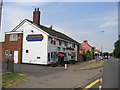
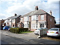
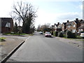
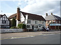
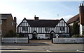
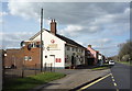
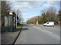
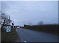
32 photos from this area
Area Information
Key information about the MK45 4NP including its size, population, and administrative classification.
- Area Type
- Postcode
- Area Size
- 2.9 hectares
- Population
- 1660
- Population Density
- 200 people/km²
House Prices in MK45 4NP
46
Properties
£396,041
Average Sold Price
£123,000
Lowest Price
£1,132,500
Highest Price
Showing 46 properties
| Address | Type | Beds | Baths | Last Sale Price | Last Sale Date | |
|---|---|---|---|---|---|---|
| 4 Manor Road, Barton Le Clay, MK45 4NP | Semi-detached | 3 | 2 | £460,000 | Sep 2025 | |
| 42 Manor Road, Barton Le Clay, MK45 4NP | Bungalow | - | - | £525,000 | Mar 2025 | |
| 45 Manor Road, Barton Le Clay, MK45 4NP | Semi-detached | 3 | 1 | £510,000 | Oct 2024 | |
| 56 Manor Road, Barton Le Clay, MK45 4NP | house | - | - | £503,368 | Oct 2024 | |
| 17 Manor Road, Barton Le Clay, MK45 4NP | house | - | - | £342,500 | Jul 2023 | |
| 2 Manor Road, Barton Le Clay, MK45 4NP | house | - | - | £460,000 | Jan 2022 | |
| 5 Manor Road, Barton Le Clay, MK45 4NP | Bungalow | - | - | £525,000 | Dec 2021 | |
| 35 Manor Road, Barton Le Clay, MK45 4NP | house | - | - | £435,000 | Jun 2021 | |
| 59 Manor Road, Barton Le Clay, MK45 4NP | Detached | 5 | 3 | £550,000 | Feb 2021 | |
| 14 Manor Road, Barton Le Clay, MK45 4NP | house | 6 | 3 | £1,132,500 | May 2019 |
Page 1 of 5
Energy Efficiency in MK45 4NP
Amenities
Schools
| Rank | School | Type | Entry gender | Ages |
|---|
Explore more schools in this area
Go to Schools tabDemographics
Household Size
Family (3-5 people)
most common
Accommodation Type
Houses
most common
Tenure
81
majority
Ethnic Group
White
most common
Religion
N/A
most common
Household Composition
N/A
most common
Age
47
median
Adults (30-64 years)
most common
Household Deprivation
N/A
with no deprivation
NS-SEC
40
in Lower managerial occupations
Explore more demographic insights in this area
Go to Demographics tabPlanning
Planning Constraints
- Flood RiskPremium
- Ramsar Wetland SitesPremium
- Area of Outstanding Natural BeautyPremium
- Protected Nature ReservePremium
- Protected WoodlandPremium