Area Overview for MK45 4EB
Photos of MK45 4EB
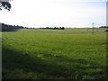
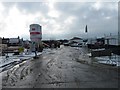
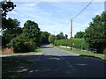
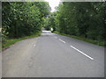
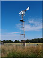
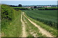
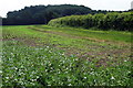
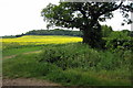
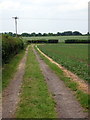
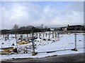
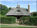
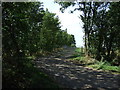
17 photos from this area
Area Information
Key information about the MK45 4EB including its size, population, and administrative classification.
- Area Type
- Postcode
- Area Size
- 5.0 hectares
- Population
- 1667
- Population Density
- 1939 people/km²
House Prices in MK45 4EB
21
Properties
£341,462
Average Sold Price
£10,000
Lowest Price
£565,000
Highest Price
Showing 21 properties
| Address | Type | Beds | Baths | Last Sale Price | Last Sale Date | |
|---|---|---|---|---|---|---|
| 25 Holly Walk, Silsoe, MK45 4EB | house | 3 | 1 | £350,000 | Sep 2025 | |
| 23 Holly Walk, Silsoe, MK45 4EB | Semi-detached | 3 | 1 | £349,500 | Mar 2025 | |
| 10 Holly Walk, Silsoe, MK45 4EB | house | - | - | £510,000 | Nov 2021 | |
| 8 Holly Walk, Silsoe, MK45 4EB | house | 4 | 1 | £467,500 | Nov 2020 | |
| 27 Holly Walk, Silsoe, MK45 4EB | house | - | - | £375,000 | Jun 2020 | |
| 17 Holly Walk, Silsoe, MK45 4EB | Bungalow | 3 | 2 | £322,000 | Apr 2020 | |
| Orchard End, 17A Holly Walk, Silsoe, MK45 4EB | house | - | - | £10,000 | May 2018 | |
| 31 Holly Walk, Silsoe, MK45 4EB | house | - | - | £560,000 | Nov 2014 | |
| 33 Holly Walk, Silsoe, MK45 4EB | house | - | - | £565,000 | Sep 2009 | |
| 2 Holly Walk, Silsoe, MK45 4EB | house | 4 | - | £275,000 | Aug 2009 |
Page 1 of 3
Energy Efficiency in MK45 4EB
Amenities
Schools
| Rank | School | Type | Entry gender | Ages |
|---|
Explore more schools in this area
Go to Schools tabDemographics
Household Size
Two person
most common
Accommodation Type
Houses
most common
Tenure
83
majority
Ethnic Group
White
most common
Religion
N/A
most common
Household Composition
N/A
most common
Age
47
median
Adults (30-64 years)
most common
Household Deprivation
N/A
with no deprivation
NS-SEC
50
in Lower managerial occupations
Explore more demographic insights in this area
Go to Demographics tabPlanning
Planning Constraints
- Flood RiskPremium
- Ramsar Wetland SitesPremium
- Area of Outstanding Natural BeautyPremium
- Protected Nature ReservePremium
- Protected WoodlandPremium