Area Overview for MK45 2YT
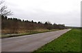
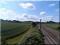
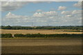
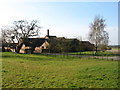
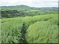
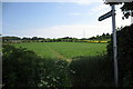
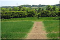
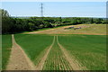
Photos of MK45 2YT


Area Information
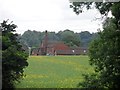
Living in MK45 2YT offers a quiet, residential experience within a compact 28.7-hectare area. With a population of 2,327 spread across 253 people per square kilometre, the community feels close-knit yet not overcrowded. This postcode area is defined by its small cluster of homes, predominantly owner-occupied, reflecting a stable, long-term resident base. The median age of 47 suggests a mature demographic, with most residents aged between 30 and 64. Daily life here is likely shaped by proximity to local amenities, including five nearby rail stations and a mix of retail outlets. The area’s low crime risk and absence of environmental constraints like protected woodlands or wetlands make it appealing for those seeking a peaceful, functional living environment. While it lacks large-scale infrastructure, its practical connectivity to Cranfield Airport and surrounding towns balances simplicity with accessibility. For buyers, MK45 2YT represents a niche market where homes are likely to be family-friendly, with schools and transport options within reach.
- Area Type
- Postcode
- Area Size
- 28.7 hectares
- Population
- 2327
- Population Density
- 253 people/km²
The property market in MK45 2YT is dominated by owner-occupied homes, with 85% of residents living in their own properties. This suggests a stable, long-term market where rental demand is likely lower than in more transient areas. The accommodation type is exclusively houses, not flats or apartments, indicating a preference for standalone homes. Given the area’s small size (28.7 hectares), the housing stock is limited, which could mean a competitive market for buyers. The high home ownership rate implies that properties here are often held by residents with strong financial ties to the area, potentially reducing turnover. For prospective buyers, this means a focus on established homes rather than new developments. However, the lack of larger infrastructure or commercial zones may limit property value growth compared to more connected areas. Buyers should consider the area’s niche appeal and practical connectivity to nearby towns when evaluating investment potential.
House Prices in MK45 2YT
No properties found in this postcode.
Energy Efficiency in MK45 2YT
The lifestyle in MK45 2YT is shaped by its practical amenities and proximity to essential services. Residents have access to five rail stations, including Millbrook and Lidlington, which provide easy links to nearby towns and cities. For shopping, the area is served by Co-op Marston, Waitrose Ampthill, and Morrisons Daily, offering a range of retail options within a short distance. The presence of Cranfield Airport nearby adds to the area’s convenience for travel. While the data does not mention parks or leisure facilities, the compact size of the postcode suggests a focus on functional living rather than expansive recreational spaces. The community’s emphasis on homes, schools, and transport infrastructure creates a lifestyle centred on accessibility and stability. This makes MK45 2YT suitable for those who prioritise practicality over large-scale leisure amenities, with daily needs met by nearby services.
Amenities
Schools
MK45 2YT is served by a mix of primary schools and academies, offering families a range of educational options. The Firs Lower School and Redborne Upper School and Community College operate as both primary and academy institutions, with the latter holding a ‘good’ Ofsted rating. This combination allows parents to choose between traditional state schools and academies, which often have distinct curricula or governance structures. The presence of two schools with ‘good’ ratings suggests a generally reliable standard of education. For families, this variety could be advantageous, though the small area may limit the availability of specialist provisions like sixth-form colleges or private institutions. The proximity of these schools to residential properties reinforces the area’s appeal to households prioritising education quality. However, the absence of secondary schools within the postcode means students may need to commute to nearby towns for higher education.
| Rank | School | Type | Entry gender | Ages |
|---|
Explore more schools in this area
Go to Schools tabDemographics
MK45 2YT’s population of 2,327 is predominantly composed of adults aged 30–64, with a median age of 47. This indicates a mature, settled community, likely with strong family ties and a focus on stability. Home ownership is high, at 85%, suggesting most residents are long-term occupants rather than renters. The area is characterised by houses, not flats, which aligns with the demographic profile of older, established households. The predominant ethnic group is White, reflecting a homogenous community. While no specific deprivation data is provided, the high home ownership and low crime risk imply a relatively affluent or stable environment. The population density of 253 people per square kilometre is moderate, avoiding the congestion of larger urban areas. This balance of space and community cohesion makes MK45 2YT suitable for those prioritising a quiet, family-oriented lifestyle without sacrificing practical amenities.
Household Size
Accommodation Type
Tenure
Ethnic Group
Religion
Household Composition
Age
Household Deprivation
NS-SEC
Explore more demographic insights in this area
Go to Demographics tabPlanning
Planning Constraints
- Flood RiskPremium
- Ramsar Wetland SitesPremium
- Area of Outstanding Natural BeautyPremium
- Protected Nature ReservePremium
- Protected WoodlandPremium