Area Overview for MK45 2GG
Photos of MK45 2GG
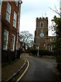
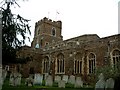

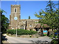
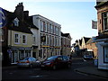
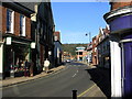
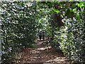
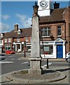
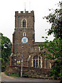
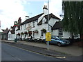
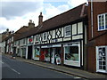
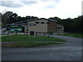
99 photos from this area
Area Information
Key information about the MK45 2GG including its size, population, and administrative classification.
- Area Type
- Postcode
- Area Size
- 4997 m²
- Population
- 1541
- Population Density
- 340 people/km²
House Prices in MK45 2GG
29
Properties
£457,167
Average Sold Price
£256,000
Lowest Price
£628,000
Highest Price
Showing 29 properties
| Address | Type | Beds | Baths | Last Sale Price | Last Sale Date | |
|---|---|---|---|---|---|---|
| 5 Duck Riddy, Ampthill, MK45 2GG | Terraced | 4 | 3 | £592,500 | Dec 2025 | |
| 1 Duck Riddy, Ampthill, MK45 2GG | Flat | - | - | £295,000 | Aug 2024 | |
| 4 Duck Riddy, Ampthill, MK45 2GG | house | - | - | £560,000 | Feb 2022 | |
| 12 Duck Riddy, Ampthill, MK45 2GG | Semi-detached | 4 | 3 | £628,000 | Sep 2021 | |
| 11 Duck Riddy, Ampthill, MK45 2GG | house | - | - | £505,000 | Mar 2021 | |
| 3 Duck Riddy, Ampthill, MK45 2GG | Flat | - | - | £256,000 | May 2020 | |
| 2 Duck Riddy, Ampthill, MK45 2GG | Flat | 2 | 2 | £257,500 | May 2020 | |
| 9 Duck Riddy, Ampthill, MK45 2GG | Semi-detached | 4 | 3 | £520,000 | Feb 2019 | |
| 7 Duck Riddy, Ampthill, MK45 2GG | house | - | - | £485,000 | Apr 2016 | |
| 8 Duck Riddy, Ampthill, MK45 2GG | house | - | - | £439,500 | Apr 2016 |
Page 1 of 3
Energy Efficiency in MK45 2GG
Amenities
Schools
| Rank | School | Type | Entry gender | Ages |
|---|
Explore more schools in this area
Go to Schools tabDemographics
Household Size
Two person
most common
Accommodation Type
Houses
most common
Tenure
81
majority
Ethnic Group
White
most common
Religion
N/A
most common
Household Composition
N/A
most common
Age
47
median
Adults (30-64 years)
most common
Household Deprivation
N/A
with no deprivation
NS-SEC
54
in Lower managerial occupations
Explore more demographic insights in this area
Go to Demographics tabPlanning
Planning Constraints
- Flood RiskPremium
- Ramsar Wetland SitesPremium
- Area of Outstanding Natural BeautyPremium
- Protected Nature ReservePremium
- Protected WoodlandPremium