Area Overview for MK45 1JY
Photos of MK45 1JY
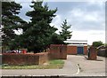
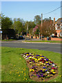
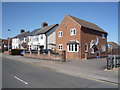
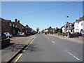
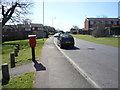
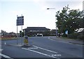
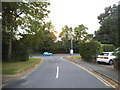
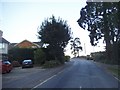
38 photos from this area
Area Information
Key information about the MK45 1JY including its size, population, and administrative classification.
- Area Type
- Postcode
- Area Size
- 5119 m²
- Population
- 1524
- Population Density
- 1619 people/km²
House Prices in MK45 1JY
8
Properties
£296,429
Average Sold Price
£87,000
Lowest Price
£499,000
Highest Price
Showing 8 properties
| Address | Type | Beds | Baths | Last Sale Price | Last Sale Date | |
|---|---|---|---|---|---|---|
| 9 Ash Close, Flitwick, MK45 1JY | Detached | 3 | 1 | £499,000 | Oct 2024 | |
| 11 Ash Close, Flitwick, MK45 1JY | house | - | - | £420,000 | Jan 2022 | |
| 13 Ash Close, Flitwick, MK45 1JY | Detached | 5 | 1 | £360,000 | Jan 2021 | |
| 7 Ash Close, Flitwick, MK45 1JY | house | - | - | £210,000 | May 2011 | |
| 15 Ash Close, Flitwick, MK45 1JY | Detached | - | - | £249,000 | Aug 2005 | |
| 3 Ash Close, Flitwick, MK45 1JY | Detached | - | - | £250,000 | Feb 2004 | |
| 5 Ash Close, Flitwick, MK45 1JY | Detached | - | - | £87,000 | Mar 1996 | |
| 1 Ash Close, Flitwick, MK45 1JY | Detached | - | - | - | - |
Energy Efficiency in MK45 1JY
Amenities
Schools
| Rank | School | Type | Entry gender | Ages |
|---|
Explore more schools in this area
Go to Schools tabDemographics
Household Size
Two person
most common
Accommodation Type
Houses
most common
Tenure
87
majority
Ethnic Group
White
most common
Religion
N/A
most common
Household Composition
N/A
most common
Age
47
median
Adults (30-64 years)
most common
Household Deprivation
N/A
with no deprivation
NS-SEC
37
in Lower managerial occupations
Explore more demographic insights in this area
Go to Demographics tabPlanning
Planning Constraints
- Flood RiskPremium
- Ramsar Wetland SitesPremium
- Area of Outstanding Natural BeautyPremium
- Protected Nature ReservePremium
- Protected WoodlandPremium