Area Overview for MK45 1JG
Photos of MK45 1JG
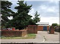
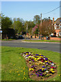
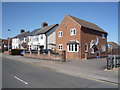
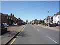
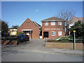
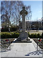
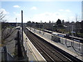
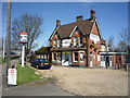
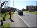
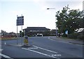
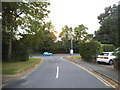
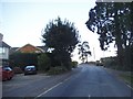
38 photos from this area
Area Information
Key information about the MK45 1JG including its size, population, and administrative classification.
- Area Type
- Postcode
- Area Size
- 2.7 hectares
- Population
- 1437
- Population Density
- 4522 people/km²
House Prices in MK45 1JG
55
Properties
£212,674
Average Sold Price
£38,500
Lowest Price
£345,000
Highest Price
Showing 55 properties
| Address | Type | Beds | Baths | Last Sale Price | Last Sale Date | |
|---|---|---|---|---|---|---|
| 120 Townfield Road, Flitwick, MK45 1JG | house | - | - | £200,000 | Dec 2025 | |
| 55 Townfield Road, Flitwick, MK45 1JG | Detached | 2 | 1 | £290,000 | Sep 2025 | |
| 75 Townfield Road, Flitwick, MK45 1JG | Semi-detached | 3 | 1 | £270,000 | Apr 2025 | |
| 87 Townfield Road, Flitwick, MK45 1JG | Semi-detached | 2 | 1 | £308,500 | Mar 2025 | |
| 63 Townfield Road, Flitwick, MK45 1JG | Semi-detached | 3 | 1 | £315,000 | Feb 2025 | |
| 112 Townfield Road, Flitwick, MK45 1JG | Semi-detached | 3 | 1 | £290,000 | May 2024 | |
| 93 Townfield Road, Flitwick, MK45 1JG | Semi-detached | 3 | 1 | £326,000 | Aug 2023 | |
| 106 Townfield Road, Flitwick, MK45 1JG | Semi-detached | 3 | 2 | £163,000 | Nov 2022 | |
| 76 Townfield Road, Flitwick, MK45 1JG | Semi-detached | 3 | 1 | £325,000 | Oct 2022 | |
| 128 Townfield Road, Flitwick, MK45 1JG | Semi-detached | 3 | 1 | £345,000 | Oct 2022 |
Page 1 of 6
Energy Efficiency in MK45 1JG
Amenities
Schools
| Rank | School | Type | Entry gender | Ages |
|---|
Explore more schools in this area
Go to Schools tabDemographics
Household Size
Two person
most common
Accommodation Type
Houses
most common
Tenure
77
majority
Ethnic Group
White
most common
Religion
N/A
most common
Household Composition
N/A
most common
Age
47
median
Adults (30-64 years)
most common
Household Deprivation
N/A
with no deprivation
NS-SEC
34
in Lower managerial occupations
Explore more demographic insights in this area
Go to Demographics tabPlanning
Planning Constraints
- Flood RiskPremium
- Ramsar Wetland SitesPremium
- Area of Outstanding Natural BeautyPremium
- Protected Nature ReservePremium
- Protected WoodlandPremium