Area Overview for MK45 1HU
Photos of MK45 1HU
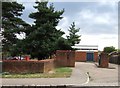
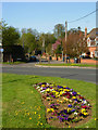
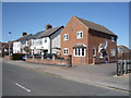
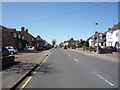
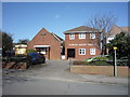
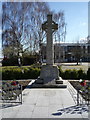
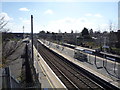
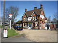
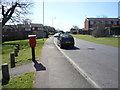
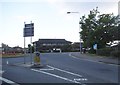
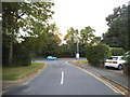
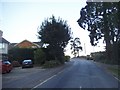
38 photos from this area
Area Information
Key information about the MK45 1HU including its size, population, and administrative classification.
- Area Type
- Postcode
- Area Size
- 9286 m²
- Population
- 1437
- Population Density
- 4522 people/km²
House Prices in MK45 1HU
13
Properties
£356,125
Average Sold Price
£59,000
Lowest Price
£720,000
Highest Price
Showing 13 properties
| Address | Type | Beds | Baths | Last Sale Price | Last Sale Date | |
|---|---|---|---|---|---|---|
| 80 Dunstable Road, Flitwick, MK45 1HU | Detached | 5 | 2 | £670,000 | Dec 2022 | |
| 72 Dunstable Road, Flitwick, MK45 1HU | house | - | - | £325,000 | Jun 2021 | |
| 52 Dunstable Road, Flitwick, MK45 1HU | house | - | - | £720,000 | Feb 2021 | |
| 64-66 Dunstable Road, Flitwick, MK45 1HU | house | 4 | - | £385,000 | Aug 2018 | |
| 58 Dunstable Road, Flitwick, MK45 1HU | Detached | 4 | 2 | £535,000 | Sep 2016 | |
| 60 Dunstable Road, Flitwick, MK45 1HU | Semi-detached | 3 | 1 | £335,000 | Jul 2016 | |
| 70 Dunstable Road, Flitwick, MK45 1HU | house | - | - | £213,000 | Aug 2008 | |
| 44 Dunstable Road, Flitwick, MK45 1HU | house | - | - | £290,000 | Feb 2007 | |
| 68 Dunstable Road, Flitwick, MK45 1HU | Semi-detached | - | - | £235,000 | Feb 2007 | |
| 50 Dunstable Road, Flitwick, MK45 1HU | house | - | - | £428,000 | Jun 2002 |
Page 1 of 2
Energy Efficiency in MK45 1HU
Amenities
Schools
| Rank | School | Type | Entry gender | Ages |
|---|
Explore more schools in this area
Go to Schools tabDemographics
Household Size
Two person
most common
Accommodation Type
Houses
most common
Tenure
77
majority
Ethnic Group
White
most common
Religion
N/A
most common
Household Composition
N/A
most common
Age
47
median
Adults (30-64 years)
most common
Household Deprivation
N/A
with no deprivation
NS-SEC
34
in Lower managerial occupations
Explore more demographic insights in this area
Go to Demographics tabPlanning
Planning Constraints
- Flood RiskPremium
- Ramsar Wetland SitesPremium
- Area of Outstanding Natural BeautyPremium
- Protected Nature ReservePremium
- Protected WoodlandPremium