Area Overview for MK44 3PD
Photos of MK44 3PD
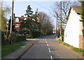
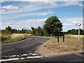
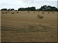
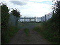
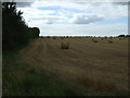
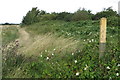
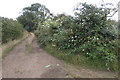
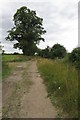
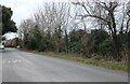
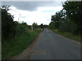
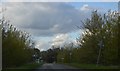
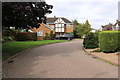
15 photos from this area
Area Information
Key information about the MK44 3PD including its size, population, and administrative classification.
- Area Type
- Postcode
- Area Size
- 2.9 hectares
- Population
- 1409
- Population Density
- 95 people/km²
House Prices in MK44 3PD
13
Properties
£170,545
Average Sold Price
£42,000
Lowest Price
£280,000
Highest Price
Showing 13 properties
| Address | Type | Beds | Baths | Last Sale Price | Last Sale Date | |
|---|---|---|---|---|---|---|
| 54 Blunham Road, Moggerhanger, MK44 3PD | Terraced | 2 | 1 | £275,000 | Sep 2024 | |
| 44 Blunham Road, Moggerhanger, MK44 3PD | Terraced | 3 | 1 | £238,000 | Nov 2021 | |
| 50 Blunham Road, Moggerhanger, MK44 3PD | Terraced | 3 | 1 | £280,000 | Nov 2020 | |
| 40 Blunham Road, Moggerhanger, MK44 3PD | Terraced | 3 | 1 | £250,000 | Apr 2013 | |
| 58 Blunham Road, Moggerhanger, MK44 3PD | house | - | - | £87,500 | Oct 2012 | |
| 62 Blunham Road, Moggerhanger, MK44 3PD | Terraced | - | - | £169,950 | Dec 2008 | |
| 46 Blunham Road, Moggerhanger, MK44 3PD | Terraced | - | - | £185,000 | Sep 2008 | |
| 56 Blunham Road, Moggerhanger, MK44 3PD | Terraced | - | - | £134,000 | Jul 2004 | |
| 52 Blunham Road, Moggerhanger, MK44 3PD | Terraced | - | - | £44,000 | May 1996 | |
| 60 Blunham Road, Moggerhanger, MK44 3PD | house | - | - | £42,000 | Aug 1995 |
Page 1 of 2
Energy Efficiency in MK44 3PD
Amenities
Schools
| Rank | School | Type | Entry gender | Ages |
|---|
Explore more schools in this area
Go to Schools tabDemographics
Household Size
Two person
most common
Accommodation Type
Houses
most common
Tenure
81
majority
Ethnic Group
White
most common
Religion
N/A
most common
Household Composition
N/A
most common
Age
47
median
Adults (30-64 years)
most common
Household Deprivation
N/A
with no deprivation
NS-SEC
39
in Lower managerial occupations
Explore more demographic insights in this area
Go to Demographics tabPlanning
Planning Constraints
- Flood RiskPremium
- Ramsar Wetland SitesPremium
- Area of Outstanding Natural BeautyPremium
- Protected Nature ReservePremium
- Protected WoodlandPremium