Area Overview for MK44 1HB
Photos of MK44 1HB
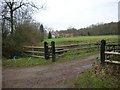
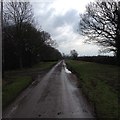
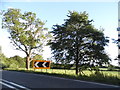
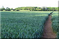
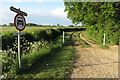
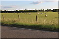
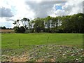
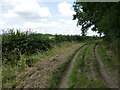
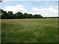
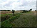
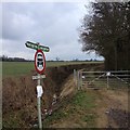
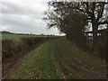
15 photos from this area
Area Information
Key information about the MK44 1HB including its size, population, and administrative classification.
- Area Type
- Postcode
- Area Size
- 98.2 hectares
- Population
- 1453
- Population Density
- 38 people/km²
House Prices in MK44 1HB
18
Properties
£276,000
Average Sold Price
£220,000
Lowest Price
£386,000
Highest Price
Showing 18 properties
| Address | Type | Beds | Baths | Last Sale Price | Last Sale Date | |
|---|---|---|---|---|---|---|
| The Kas, Chapel Lane, Souldrop, MK44 1HB | house | - | - | £315,000 | Apr 2024 | |
| Vaun, Chapel Lane, Souldrop, MK44 1HB | Semi-detached | 3 | - | £240,000 | Mar 2016 | |
| White House, Chapel Lane, Souldrop, MK44 1HB | house | 4 | - | £386,000 | Nov 2013 | |
| Fordhams End, 27 Chapel Lane, Souldrop, MK44 1HB | Semi-detached | - | - | £300,000 | Oct 2009 | |
| Bankey House, Chapel Lane, Souldrop, MK44 1HB | Semi-detached | - | - | £220,000 | Jan 2004 | |
| Ash Lodge, Chapel Lane, Souldrop, MK44 1HB | Detached | - | - | £236,000 | Jan 2003 | |
| Mayfield, Chapel Lane, Souldrop, MK44 1HB | Detached | - | - | £235,000 | Feb 1996 | |
| Cautley, Chapel Lane, Souldrop, MK44 1HB | Detached | 4 | - | - | - | |
| Treetops, Chapel Lane, Souldrop, MK44 1HB | Semi-detached | 4 | 3 | - | - | |
| Peppercorns, Chapel Lane, Souldrop, MK44 1HB | house | - | - | - | - |
Page 1 of 2
Energy Efficiency in MK44 1HB
Amenities
Schools
| Rank | School | Type | Entry gender | Ages |
|---|
Explore more schools in this area
Go to Schools tabDemographics
Household Size
Two person
most common
Accommodation Type
Houses
most common
Tenure
75
majority
Ethnic Group
White
most common
Religion
N/A
most common
Household Composition
N/A
most common
Age
47
median
Adults (30-64 years)
most common
Household Deprivation
N/A
with no deprivation
NS-SEC
48
in Lower managerial occupations
Explore more demographic insights in this area
Go to Demographics tabPlanning
Planning Constraints
- Flood RiskPremium
- Ramsar Wetland SitesPremium
- Area of Outstanding Natural BeautyPremium
- Protected Nature ReservePremium
- Protected WoodlandPremium