Area Overview for MK43 8QX
Photos of MK43 8QX
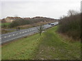
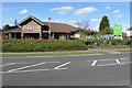
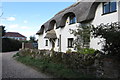
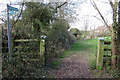
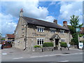
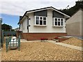
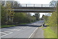
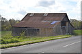
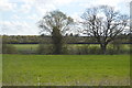
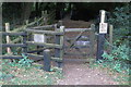
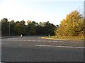
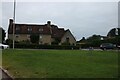
37 photos from this area
Area Information
Key information about the MK43 8QX including its size, population, and administrative classification.
- Area Type
- Postcode
- Area Size
- 6023 m²
- Population
- 1643
- Population Density
- 1886 people/km²
House Prices in MK43 8QX
13
Properties
£349,993
Average Sold Price
£212,500
Lowest Price
£462,500
Highest Price
Showing 13 properties
| Address | Type | Beds | Baths | Last Sale Price | Last Sale Date | |
|---|---|---|---|---|---|---|
| 56 Quenby Way, Bromham, MK43 8QX | Detached | 4 | 2 | £462,500 | Oct 2024 | |
| 64 Quenby Way, Bromham, MK43 8QX | Detached | 4 | 2 | £460,000 | Apr 2018 | |
| 60 Quenby Way, Bromham, MK43 8QX | Detached | 4 | 1 | £393,000 | Oct 2015 | |
| 48 Quenby Way, Bromham, MK43 8QX | house | - | - | £349,950 | Sep 2011 | |
| 58 Quenby Way, Bromham, MK43 8QX | Detached | - | - | £340,000 | Feb 2010 | |
| 52 Quenby Way, Bromham, MK43 8QX | Detached | 4 | 2 | £232,000 | Jun 2005 | |
| 62 Quenby Way, Bromham, MK43 8QX | Detached | 4 | 2 | £212,500 | Jun 2001 | |
| 50 Quenby Way, Bromham, MK43 8QX | Detached | 4 | - | - | - | |
| 70 Quenby Way, Bromham, MK43 8QX | Detached | 4 | - | - | - | |
| 54 Quenby Way, Bromham, MK43 8QX | house | - | - | - | - |
Page 1 of 2
Energy Efficiency in MK43 8QX
Amenities
Schools
| Rank | School | Type | Entry gender | Ages |
|---|
Explore more schools in this area
Go to Schools tabDemographics
Household Size
Two person
most common
Accommodation Type
Houses
most common
Tenure
89
majority
Ethnic Group
White
most common
Religion
N/A
most common
Household Composition
N/A
most common
Age
47
median
Adults (30-64 years)
most common
Household Deprivation
N/A
with no deprivation
NS-SEC
49
in Lower managerial occupations
Explore more demographic insights in this area
Go to Demographics tabPlanning
Planning Constraints
- Flood RiskPremium
- Ramsar Wetland SitesPremium
- Area of Outstanding Natural BeautyPremium
- Protected Nature ReservePremium
- Protected WoodlandPremium