Area Overview for MK43 8LA
Photos of MK43 8LA
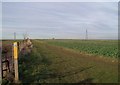
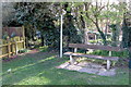
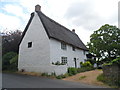
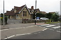
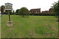
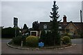
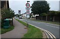
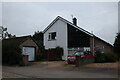
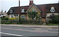
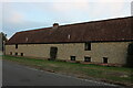
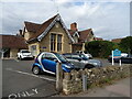
22 photos from this area
Area Information
Key information about the MK43 8LA including its size, population, and administrative classification.
- Area Type
- Postcode
- Area Size
- 5.0 hectares
- Population
- 1585
- Population Density
- 553 people/km²
House Prices in MK43 8LA
32
Properties
£232,967
Average Sold Price
£55,000
Lowest Price
£625,000
Highest Price
Showing 32 properties
| Address | Type | Beds | Baths | Last Sale Price | Last Sale Date | |
|---|---|---|---|---|---|---|
| 106 Woodland Drive, Bromham, MK43 8LA | Bungalow | 2 | 1 | £397,500 | Oct 2025 | |
| 86 Woodland Drive, Bromham, MK43 8LA | Semi-detached | 3 | 1 | £400,000 | Nov 2023 | |
| 43 Woodland Drive, Bromham, MK43 8LA | house | - | - | £625,000 | Aug 2022 | |
| 114 Woodland Drive, Bromham, MK43 8LA | Bungalow | - | - | £325,000 | Apr 2021 | |
| 118 Woodland Drive, Bromham, MK43 8LA | Bungalow | - | - | £283,900 | Dec 2019 | |
| 116 Woodland Drive, Bromham, MK43 8LA | Bungalow | - | - | £269,995 | Jan 2019 | |
| 45 Woodland Drive, Bromham, MK43 8LA | house | - | - | £390,000 | Nov 2016 | |
| 47 Woodland Drive, Bromham, MK43 8LA | house | 2 | - | £355,000 | Aug 2016 | |
| 112 Woodland Drive, Bromham, MK43 8LA | Bungalow | - | - | £225,000 | Apr 2015 | |
| 108 Woodland Drive, Bromham, MK43 8LA | Bungalow | 2 | 1 | £139,995 | Nov 2009 |
Page 1 of 4
Energy Efficiency in MK43 8LA
Amenities
Schools
| Rank | School | Type | Entry gender | Ages |
|---|
Explore more schools in this area
Go to Schools tabDemographics
Household Size
Family (3-5 people)
most common
Accommodation Type
Houses
most common
Tenure
89
majority
Ethnic Group
White
most common
Religion
N/A
most common
Household Composition
N/A
most common
Age
47
median
Adults (30-64 years)
most common
Household Deprivation
N/A
with no deprivation
NS-SEC
48
in Lower managerial occupations
Explore more demographic insights in this area
Go to Demographics tabPlanning
Planning Constraints
- Flood RiskPremium
- Ramsar Wetland SitesPremium
- Area of Outstanding Natural BeautyPremium
- Protected Nature ReservePremium
- Protected WoodlandPremium