Area Overview for MK43 7FB
Photos of MK43 7FB
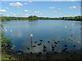
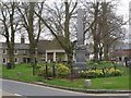
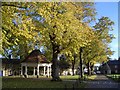
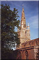
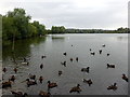
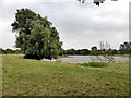
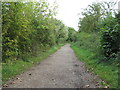
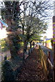
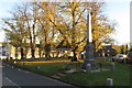
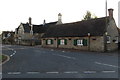
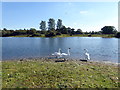
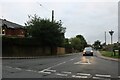
50 photos from this area
Area Information
Key information about the MK43 7FB including its size, population, and administrative classification.
- Area Type
- Postcode
- Area Size
- 3360 m²
- Population
- 1949
- Population Density
- 78 people/km²
House Prices in MK43 7FB
11
Properties
£291,825
Average Sold Price
£122,500
Lowest Price
£410,000
Highest Price
Showing 11 properties
| Address | Type | Beds | Baths | Last Sale Price | Last Sale Date | |
|---|---|---|---|---|---|---|
| 4 Barley Kiln Lane, Harrold, MK43 7FB | Semi-detached | 3 | 3 | £367,500 | Jul 2024 | |
| 2 Barley Kiln Lane, Harrold, MK43 7FB | Detached | 2 | 1 | £400,000 | May 2023 | |
| 16 Barley Kiln Lane, Harrold, MK43 7FB | house | - | - | £410,000 | Aug 2022 | |
| 8 Barley Kiln Lane, Harrold, MK43 7FB | Terraced | 3 | 1 | £126,500 | Jan 2021 | |
| 10 Barley Kiln Lane, Harrold, MK43 7FB | Terraced | 2 | 2 | £122,500 | Dec 2018 | |
| 20 Barley Kiln Lane, Harrold, MK43 7FB | Detached | 3 | 1 | £327,500 | Jul 2017 | |
| 6 Barley Kiln Lane, Harrold, MK43 7FB | Terraced | 4 | 1 | £128,750 | Apr 2017 | |
| 18 Barley Kiln Lane, Harrold, MK43 7FB | house | - | - | £348,000 | Nov 2016 | |
| 22 Barley Kiln Lane, Harrold, MK43 7FB | Detached | 3 | 2 | £292,500 | Feb 2014 | |
| 21 Barley Kiln Lane, Harrold, MK43 7FB | house | - | - | £395,000 | Jul 2013 |
Page 1 of 2
Energy Efficiency in MK43 7FB
Amenities
Schools
| Rank | School | Type | Entry gender | Ages |
|---|
Explore more schools in this area
Go to Schools tabDemographics
Household Size
Two person
most common
Accommodation Type
Houses
most common
Tenure
72
majority
Ethnic Group
White
most common
Religion
N/A
most common
Household Composition
N/A
most common
Age
47
median
Adults (30-64 years)
most common
Household Deprivation
N/A
with no deprivation
NS-SEC
49
in Lower managerial occupations
Explore more demographic insights in this area
Go to Demographics tabPlanning
Planning Constraints
- Flood RiskPremium
- Ramsar Wetland SitesPremium
- Area of Outstanding Natural BeautyPremium
- Protected Nature ReservePremium
- Protected WoodlandPremium