Area Overview for MK43 0HH
Photos of MK43 0HH
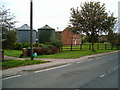
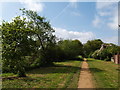
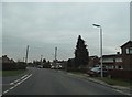
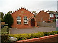
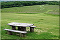
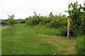
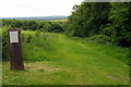
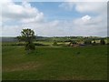
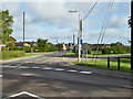
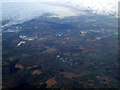
10 photos from this area
Area Information
Key information about the MK43 0HH including its size, population, and administrative classification.
- Area Type
- Postcode
- Area Size
- 1.1 hectares
- Population
- 1476
- Population Density
- 1211 people/km²
House Prices in MK43 0HH
22
Properties
£265,477
Average Sold Price
£52,750
Lowest Price
£450,500
Highest Price
Showing 22 properties
| Address | Type | Beds | Baths | Last Sale Price | Last Sale Date | |
|---|---|---|---|---|---|---|
| 35 Crane Way, Cranfield, MK43 0HH | house | - | - | £360,000 | Jun 2023 | |
| 33 Crane Way, Cranfield, MK43 0HH | Semi-detached | 4 | 2 | £270,000 | Mar 2020 | |
| 50 Crane Way, Cranfield, MK43 0HH | Bungalow | 8 | 5 | £400,000 | Nov 2016 | |
| 42 Crane Way, Cranfield, MK43 0HH | Semi-detached | 5 | 2 | £320,000 | Feb 2015 | |
| 23 Crane Way, Cranfield, MK43 0HH | house | - | - | £150,000 | Nov 2011 | |
| 40 Crane Way, Cranfield, MK43 0HH | Bungalow | 4 | 2 | £370,000 | Jan 2011 | |
| 27 Crane Way, Cranfield, MK43 0HH | Terraced | - | - | £205,000 | Sep 2008 | |
| 48 Crane Way, Cranfield, MK43 0HH | Detached | - | - | £450,500 | Aug 2007 | |
| 41 Crane Way, Cranfield, MK43 0HH | Semi-detached | - | - | £157,000 | Jul 2005 | |
| 45 Crane Way, Cranfield, MK43 0HH | Detached | 5 | 3 | £185,000 | Sep 2002 |
Page 1 of 3
Energy Efficiency in MK43 0HH
Amenities
Schools
| Rank | School | Type | Entry gender | Ages |
|---|
Explore more schools in this area
Go to Schools tabDemographics
Household Size
Family (3-5 people)
most common
Accommodation Type
Houses
most common
Tenure
72
majority
Ethnic Group
White
most common
Religion
N/A
most common
Household Composition
N/A
most common
Age
47
median
Adults (30-64 years)
most common
Household Deprivation
N/A
with no deprivation
NS-SEC
34
in Lower managerial occupations
Explore more demographic insights in this area
Go to Demographics tabPlanning
Planning Constraints
- Flood RiskPremium
- Ramsar Wetland SitesPremium
- Area of Outstanding Natural BeautyPremium
- Protected Nature ReservePremium
- Protected WoodlandPremium