Area Overview for MK42 9TH
Photos of MK42 9TH
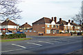
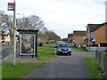
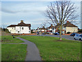
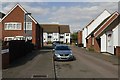
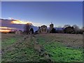
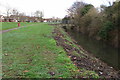
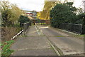
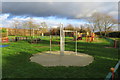
28 photos from this area
Area Information
Key information about the MK42 9TH including its size, population, and administrative classification.
- Area Type
- Postcode
- Area Size
- 1.0 hectares
- Population
- 1525
- Population Density
- 3534 people/km²
House Prices in MK42 9TH
24
Properties
£209,750
Average Sold Price
£59,500
Lowest Price
£365,000
Highest Price
Showing 24 properties
| Address | Type | Beds | Baths | Last Sale Price | Last Sale Date | |
|---|---|---|---|---|---|---|
| 60 Harewood Road, Bedford, MK42 9TH | Semi-detached | 3 | 1 | £365,000 | Jul 2023 | |
| 79 Harewood Road, Bedford, MK42 9TH | Bungalow | - | - | £330,000 | Aug 2022 | |
| 58 Harewood Road, Bedford, MK42 9TH | house | - | - | £282,000 | Sep 2021 | |
| 77 Harewood Road, Bedford, MK42 9TH | Bungalow | - | - | £275,000 | May 2021 | |
| 75 Harewood Road, Bedford, MK42 9TH | Semi-detached | - | - | £275,000 | Jul 2020 | |
| 71 Harewood Road, Bedford, MK42 9TH | Semi-detached | 2 | - | £212,500 | Jul 2019 | |
| 93 Harewood Road, Bedford, MK42 9TH | Semi-detached | 3 | 1 | £290,000 | Apr 2019 | |
| 91 Harewood Road, Bedford, MK42 9TH | Semi-detached | 2 | 1 | £220,000 | Dec 2018 | |
| 50 Harewood Road, Bedford, MK42 9TH | house | - | - | £280,000 | Jun 2018 | |
| 56 Harewood Road, Bedford, MK42 9TH | house | - | - | £180,000 | Sep 2013 |
Page 1 of 3
Energy Efficiency in MK42 9TH
Amenities
Schools
| Rank | School | Type | Entry gender | Ages |
|---|
Explore more schools in this area
Go to Schools tabDemographics
Household Size
Family (3-5 people)
most common
Accommodation Type
Houses
most common
Tenure
69
majority
Ethnic Group
White
most common
Religion
N/A
most common
Household Composition
N/A
most common
Age
47
median
Adults (30-64 years)
most common
Household Deprivation
N/A
with no deprivation
NS-SEC
22
in Lower managerial occupations
Explore more demographic insights in this area
Go to Demographics tabPlanning
Planning Constraints
- Flood RiskPremium
- Ramsar Wetland SitesPremium
- Area of Outstanding Natural BeautyPremium
- Protected Nature ReservePremium
- Protected WoodlandPremium