Area Overview for MK42 9PP
Photos of MK42 9PP
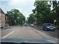
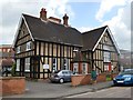
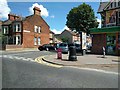
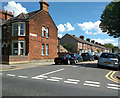
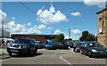
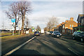
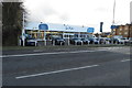
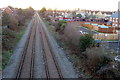
21 photos from this area
Area Information
Key information about the MK42 9PP including its size, population, and administrative classification.
- Area Type
- Postcode
- Area Size
- 4664 m²
- Population
- 1631
- Population Density
- 3327 people/km²
House Prices in MK42 9PP
26
Properties
£205,859
Average Sold Price
£20,452
Lowest Price
£295,000
Highest Price
Showing 26 properties
| Address | Type | Beds | Baths | Last Sale Price | Last Sale Date | |
|---|---|---|---|---|---|---|
| 132 Ampthill Road, Bedford, MK42 9PP | house | - | - | £246,000 | Apr 2025 | |
| 148 Ampthill Road, Bedford, MK42 9PP | house | 1 | 3 | £275,000 | Mar 2024 | |
| 158 Ampthill Road, Bedford, MK42 9PP | Terraced | 4 | 2 | £261,000 | Aug 2023 | |
| 150 Ampthill Road, Bedford, MK42 9PP | house | - | - | £295,000 | Sep 2022 | |
| 144 Ampthill Road, Bedford, MK42 9PP | house | - | - | £220,000 | Sep 2022 | |
| 126 Ampthill Road, Bedford, MK42 9PP | house | 5 | - | £265,000 | Sep 2021 | |
| 142 Ampthill Road, Bedford, MK42 9PP | Terraced | 3 | 1 | £185,000 | Oct 2020 | |
| 138 Ampthill Road, Bedford, MK42 9PP | Terraced | - | - | £153,000 | Mar 2008 | |
| 136 Ampthill Road, Bedford, MK42 9PP | Flat | 2 | 1 | £175,000 | Jan 2007 | |
| 156 Ampthill Road, Bedford, MK42 9PP | Terraced | 3 | 1 | £169,000 | Jun 2006 |
Page 1 of 3
Energy Efficiency in MK42 9PP
Amenities
Schools
| Rank | School | Type | Entry gender | Ages |
|---|
Explore more schools in this area
Go to Schools tabDemographics
Household Size
Family (3-5 people)
most common
Accommodation Type
Houses
most common
Tenure
60
majority
Ethnic Group
White
most common
Religion
N/A
most common
Household Composition
N/A
most common
Age
47
median
Adults (30-64 years)
most common
Household Deprivation
N/A
with no deprivation
NS-SEC
21
in Lower managerial occupations
Explore more demographic insights in this area
Go to Demographics tabPlanning
Planning Constraints
- Flood RiskPremium
- Ramsar Wetland SitesPremium
- Area of Outstanding Natural BeautyPremium
- Protected Nature ReservePremium
- Protected WoodlandPremium