Area Overview for MK42 9PB
Photos of MK42 9PB
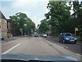
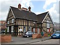
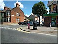
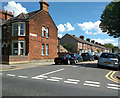
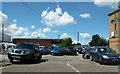

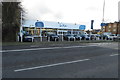
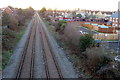

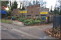


21 photos from this area
Area Information
Key information about the MK42 9PB including its size, population, and administrative classification.
- Area Type
- Postcode
- Area Size
- 3.3 hectares
- Population
- 1525
- Population Density
- 3534 people/km²
House Prices in MK42 9PB
24
Properties
£143,521
Average Sold Price
£100,000
Lowest Price
£213,500
Highest Price
Showing 24 properties
| Address | Type | Beds | Baths | Last Sale Price | Last Sale Date | |
|---|---|---|---|---|---|---|
| 15, Miller Court, Miller Road, Bedford, MK42 9PB | Flat | - | - | £182,000 | Apr 2024 | |
| 17, Miller Court, Miller Road, Bedford, MK42 9PB | Flat | - | - | £176,000 | Aug 2023 | |
| 9, Miller Court, Miller Road, Bedford, MK42 9PB | Maisonette | 2 | 1 | £213,500 | Feb 2023 | |
| 21, Miller Court, Miller Road, Bedford, MK42 9PB | Flat | 2 | 1 | £180,000 | Jul 2022 | |
| 2, Miller Court, Miller Road, Bedford, MK42 9PB | Maisonette | 2 | 1 | £185,000 | May 2019 | |
| 8, Miller Court, Miller Road, Bedford, MK42 9PB | Maisonette | 2 | 1 | £184,995 | Jul 2018 | |
| 4, Miller Court, Miller Road, Bedford, MK42 9PB | Flat | - | - | £139,000 | Nov 2016 | |
| 16, Miller Court, Miller Road, Bedford, MK42 9PB | Flat | - | - | £113,500 | Aug 2015 | |
| 11, Miller Court, Miller Road, Bedford, MK42 9PB | Maisonette | 2 | - | £145,000 | Jun 2015 | |
| 3, Miller Court, Miller Road, Bedford, MK42 9PB | Maisonette | 2 | - | £130,000 | Dec 2014 |
Page 1 of 3
Energy Efficiency in MK42 9PB
Amenities
Schools
| Rank | School | Type | Entry gender | Ages |
|---|
Explore more schools in this area
Go to Schools tabDemographics
Household Size
Family (3-5 people)
most common
Accommodation Type
Houses
most common
Tenure
69
majority
Ethnic Group
White
most common
Religion
N/A
most common
Household Composition
N/A
most common
Age
47
median
Adults (30-64 years)
most common
Household Deprivation
N/A
with no deprivation
NS-SEC
22
in Lower managerial occupations
Explore more demographic insights in this area
Go to Demographics tabPlanning
Planning Constraints
- Flood RiskPremium
- Ramsar Wetland SitesPremium
- Area of Outstanding Natural BeautyPremium
- Protected Nature ReservePremium
- Protected WoodlandPremium