Area Overview for MK42 9JL
Photos of MK42 9JL
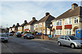
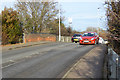
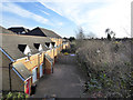
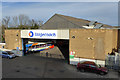
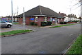
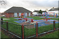
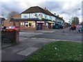
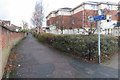
29 photos from this area
Area Information
Key information about the MK42 9JL including its size, population, and administrative classification.
- Area Type
- Postcode
- Area Size
- 1.6 hectares
- Population
- 1736
- Population Density
- 4401 people/km²
House Prices in MK42 9JL
74
Properties
£83,407
Average Sold Price
£21,500
Lowest Price
£148,000
Highest Price
Showing 74 properties
| Address | Type | Beds | Baths | Last Sale Price | Last Sale Date | |
|---|---|---|---|---|---|---|
| 254 Redwood Grove, Bedford, MK42 9JL | Flat | 1 | 1 | £127,000 | Oct 2025 | |
| 222 Redwood Grove, Bedford, MK42 9JL | Flat | - | - | £130,000 | Mar 2024 | |
| 238 Redwood Grove, Bedford, MK42 9JL | Flat | 2 | 1 | £148,000 | May 2022 | |
| 292 Redwood Grove, Bedford, MK42 9JL | Flat | 2 | 1 | £136,000 | Nov 2021 | |
| 206 Redwood Grove, Bedford, MK42 9JL | Flat | - | - | £110,000 | Jan 2021 | |
| 294 Redwood Grove, Bedford, MK42 9JL | Flat | 2 | 1 | £125,000 | Jul 2020 | |
| 192 Redwood Grove, Bedford, MK42 9JL | Flat | - | - | £107,000 | Feb 2020 | |
| 260 Redwood Grove, Bedford, MK42 9JL | Flat | 1 | 1 | £80,000 | Jun 2019 | |
| 188 Redwood Grove, Bedford, MK42 9JL | Flat | 2 | 1 | £100,000 | Nov 2018 | |
| 324 Redwood Grove, Bedford, MK42 9JL | Flat | - | - | £96,000 | Nov 2018 |
Page 1 of 8
Energy Efficiency in MK42 9JL
Amenities
Schools
| Rank | School | Type | Entry gender | Ages |
|---|
Explore more schools in this area
Go to Schools tabDemographics
Household Size
Family (3-5 people)
most common
Accommodation Type
Houses
most common
Tenure
50
majority
Ethnic Group
White
most common
Religion
N/A
most common
Household Composition
N/A
most common
Age
47
median
Adults (30-64 years)
most common
Household Deprivation
N/A
with no deprivation
NS-SEC
24
in Lower managerial occupations
Explore more demographic insights in this area
Go to Demographics tabPlanning
Planning Constraints
- Flood RiskPremium
- Ramsar Wetland SitesPremium
- Area of Outstanding Natural BeautyPremium
- Protected Nature ReservePremium
- Protected WoodlandPremium