Area Overview for MK42 7FJ
Photos of MK42 7FJ
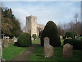
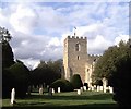
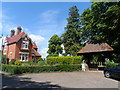
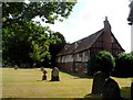
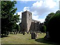
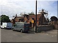
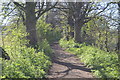
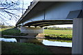
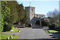
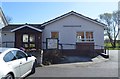
37 photos from this area
Area Information
Key information about the MK42 7FJ including its size, population, and administrative classification.
- Area Type
- Postcode
- Area Size
- 3.7 hectares
- Population
- 1540
- Population Density
- 4021 people/km²
House Prices in MK42 7FJ
52
Properties
£276,921
Average Sold Price
£155,995
Lowest Price
£560,000
Highest Price
Showing 52 properties
| Address | Type | Beds | Baths | Last Sale Price | Last Sale Date | |
|---|---|---|---|---|---|---|
| 33 Martell Drive, Kempston, MK42 7FJ | house | 3 | 3 | £362,000 | Dec 2025 | |
| 35 Martell Drive, Kempston, MK42 7FJ | Terraced | 3 | 3 | £352,500 | Nov 2025 | |
| 43 Martell Drive, Kempston, MK42 7FJ | Flat | - | - | £225,000 | Oct 2025 | |
| 25 Martell Drive, Kempston, MK42 7FJ | Semi-detached | 3 | 2 | £372,500 | Jul 2025 | |
| 47 Martell Drive, Kempston, MK42 7FJ | Flat | 2 | 2 | £225,000 | May 2025 | |
| 67 Martell Drive, Kempston, MK42 7FJ | Flat | 2 | 1 | £210,000 | Dec 2024 | |
| 71 Martell Drive, Kempston, MK42 7FJ | Flat | 2 | 2 | £215,000 | Nov 2024 | |
| 68 Martell Drive, Kempston, MK42 7FJ | Flat | - | - | £162,500 | Oct 2024 | |
| 62 Martell Drive, Kempston, MK42 7FJ | Flat | - | - | £170,000 | Aug 2023 | |
| 29 Martell Drive, Kempston, MK42 7FJ | Detached | 4 | 3 | £450,000 | Jun 2023 |
Page 1 of 6
Energy Efficiency in MK42 7FJ
Amenities
Schools
| Rank | School | Type | Entry gender | Ages |
|---|
Explore more schools in this area
Go to Schools tabDemographics
Household Size
Family (3-5 people)
most common
Accommodation Type
Houses
most common
Tenure
74
majority
Ethnic Group
White
most common
Religion
N/A
most common
Household Composition
N/A
most common
Age
47
median
Adults (30-64 years)
most common
Household Deprivation
N/A
with no deprivation
NS-SEC
42
in Lower managerial occupations
Explore more demographic insights in this area
Go to Demographics tabPlanning
Planning Constraints
- Flood RiskPremium
- Ramsar Wetland SitesPremium
- Area of Outstanding Natural BeautyPremium
- Protected Nature ReservePremium
- Protected WoodlandPremium