Area Overview for MK42 6ET
Photos of MK42 6ET
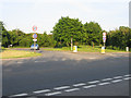
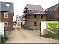
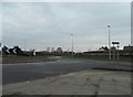
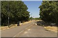
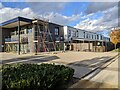
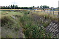
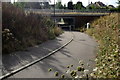
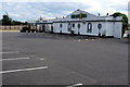
15 photos from this area
Area Information
Key information about the MK42 6ET including its size, population, and administrative classification.
- Area Type
- Postcode
- Area Size
- 1.8 hectares
- Population
- 2037
- Population Density
- 2389 people/km²
House Prices in MK42 6ET
45
Properties
£530,086
Average Sold Price
£419,995
Lowest Price
£628,995
Highest Price
Showing 45 properties
| Address | Type | Beds | Baths | Last Sale Price | Last Sale Date | |
|---|---|---|---|---|---|---|
| 20 Red Salmon Road, Wixams, MK42 6ET | Detached | 5 | 4 | £547,500 | Jun 2024 | |
| 25 Red Salmon Road, Wixams, MK42 6ET | house | - | - | £439,995 | Apr 2023 | |
| 27 Red Salmon Road, Wixams, MK42 6ET | house | - | - | £419,995 | Mar 2023 | |
| 35 Red Salmon Road, Wixams, MK42 6ET | house | - | - | £565,995 | Mar 2023 | |
| 49 Red Salmon Road, Wixams, MK42 6ET | house | - | - | £539,995 | Mar 2023 | |
| 43 Red Salmon Road, Wixams, MK42 6ET | house | - | - | £568,995 | Mar 2023 | |
| 31 Red Salmon Road, Wixams, MK42 6ET | house | - | - | £522,995 | Feb 2023 | |
| 33 Red Salmon Road, Wixams, MK42 6ET | house | - | - | £478,995 | Feb 2023 | |
| 47 Red Salmon Road, Wixams, MK42 6ET | house | - | - | £628,995 | Feb 2023 | |
| 26 Red Salmon Road, Wixams, MK42 6ET | house | - | - | £552,995 | Jan 2023 |
Page 1 of 5
Energy Efficiency in MK42 6ET
Amenities
Schools
| Rank | School | Type | Entry gender | Ages |
|---|
Explore more schools in this area
Go to Schools tabDemographics
Household Size
Family (3-5 people)
most common
Accommodation Type
Houses
most common
Tenure
79
majority
Ethnic Group
White
most common
Religion
N/A
most common
Household Composition
N/A
most common
Age
47
median
Adults (30-64 years)
most common
Household Deprivation
N/A
with no deprivation
NS-SEC
46
in Lower managerial occupations
Explore more demographic insights in this area
Go to Demographics tabPlanning
Planning Constraints
- Flood RiskPremium
- Ramsar Wetland SitesPremium
- Area of Outstanding Natural BeautyPremium
- Protected Nature ReservePremium
- Protected WoodlandPremium