Area Overview for MK42 0YG
Photos of MK42 0YG
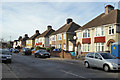
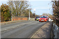
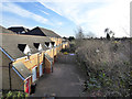

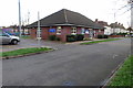
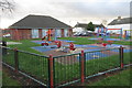
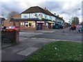
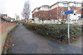
29 photos from this area
Area Information
Key information about the MK42 0YG including its size, population, and administrative classification.
- Area Type
- Postcode
- Area Size
- 2835 m²
- Population
- 1736
- Population Density
- 4401 people/km²
House Prices in MK42 0YG
9
Properties
£257,925
Average Sold Price
£129,981
Lowest Price
£333,000
Highest Price
Showing 9 properties
| Address | Type | Beds | Baths | Last Sale Price | Last Sale Date | |
|---|---|---|---|---|---|---|
| 5 Alder Close, Bedford, MK42 0YG | Terraced | 2 | 1 | £285,000 | Aug 2023 | |
| 4 Alder Close, Bedford, MK42 0YG | house | - | - | £299,995 | May 2019 | |
| 2 Alder Close, Bedford, MK42 0YG | house | - | - | £333,000 | Mar 2019 | |
| 3 Alder Close, Bedford, MK42 0YG | house | - | - | £250,000 | Mar 2019 | |
| 1 Alder Close, Bedford, MK42 0YG | Terraced | 2 | 1 | £255,000 | Mar 2019 | |
| 7 Alder Close, Bedford, MK42 0YG | Terraced | 2 | 1 | £252,500 | Feb 2019 | |
| 10 Alder Close, Bedford, MK42 0YG | house | - | - | £129,981 | Oct 2018 | |
| 6 Alder Close, Bedford, MK42 0YG | house | - | - | - | - | |
| 8 Alder Close, Bedford, MK42 0YG | house | - | - | - | - |
Energy Efficiency in MK42 0YG
Amenities
Schools
| Rank | School | Type | Entry gender | Ages |
|---|
Explore more schools in this area
Go to Schools tabDemographics
Household Size
Family (3-5 people)
most common
Accommodation Type
Houses
most common
Tenure
50
majority
Ethnic Group
White
most common
Religion
N/A
most common
Household Composition
N/A
most common
Age
47
median
Adults (30-64 years)
most common
Household Deprivation
N/A
with no deprivation
NS-SEC
24
in Lower managerial occupations
Explore more demographic insights in this area
Go to Demographics tabPlanning
Planning Constraints
- Flood RiskPremium
- Ramsar Wetland SitesPremium
- Area of Outstanding Natural BeautyPremium
- Protected Nature ReservePremium
- Protected WoodlandPremium