Area Overview for MK42 0SB
Photos of MK42 0SB
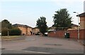
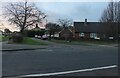
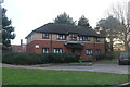
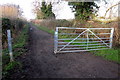
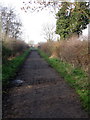
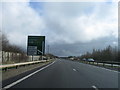
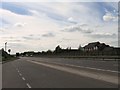
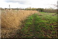
17 photos from this area
Area Information
Key information about the MK42 0SB including its size, population, and administrative classification.
- Area Type
- Postcode
- Area Size
- 8105 m²
- Population
- 1642
- Population Density
- 4050 people/km²
House Prices in MK42 0SB
15
Properties
£144,750
Average Sold Price
£60,000
Lowest Price
£217,000
Highest Price
Showing 15 properties
| Address | Type | Beds | Baths | Last Sale Price | Last Sale Date | |
|---|---|---|---|---|---|---|
| 123 Winchester Road, Bedford, MK42 0SB | Semi-detached | 3 | 1 | £215,000 | Apr 2018 | |
| 82 Winchester Road, Bedford, MK42 0SB | Semi-detached | 4 | 2 | £155,000 | Sep 2010 | |
| 96 Winchester Road, Bedford, MK42 0SB | house | 3 | - | £170,000 | Jul 2010 | |
| 98 Winchester Road, Bedford, MK42 0SB | house | - | - | £217,000 | Jul 2007 | |
| 90 Winchester Road, Bedford, MK42 0SB | Semi-detached | - | - | £165,000 | Apr 2006 | |
| 127 Winchester Road, Bedford, MK42 0SB | Semi-detached | - | - | £160,000 | Jul 2005 | |
| 88 Winchester Road, Bedford, MK42 0SB | Semi-detached | - | - | £157,000 | Jun 2005 | |
| 86 Winchester Road, Bedford, MK42 0SB | Semi-detached | - | - | £162,000 | May 2005 | |
| 94 Winchester Road, Bedford, MK42 0SB | Semi-detached | - | - | £135,000 | Jul 2004 | |
| 84 Winchester Road, Bedford, MK42 0SB | Semi-detached | - | - | £71,500 | Sep 1999 |
Page 1 of 2
Energy Efficiency in MK42 0SB
Amenities
Schools
| Rank | School | Type | Entry gender | Ages |
|---|
Explore more schools in this area
Go to Schools tabDemographics
Household Size
Family (3-5 people)
most common
Accommodation Type
Houses
most common
Tenure
65
majority
Ethnic Group
White
most common
Religion
N/A
most common
Household Composition
N/A
most common
Age
47
median
Adults (30-64 years)
most common
Household Deprivation
N/A
with no deprivation
NS-SEC
24
in Lower managerial occupations
Explore more demographic insights in this area
Go to Demographics tabPlanning
Planning Constraints
- Flood RiskPremium
- Ramsar Wetland SitesPremium
- Area of Outstanding Natural BeautyPremium
- Protected Nature ReservePremium
- Protected WoodlandPremium