Area Overview for MK42 0RZ
Photos of MK42 0RZ
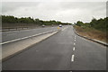
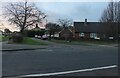
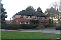
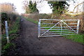
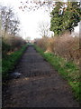
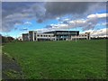
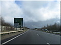
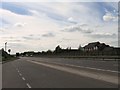
18 photos from this area
Area Information
Key information about the MK42 0RZ including its size, population, and administrative classification.
- Area Type
- Postcode
- Area Size
- 1.5 hectares
- Population
- 1642
- Population Density
- 4050 people/km²
House Prices in MK42 0RZ
40
Properties
£153,719
Average Sold Price
£38,750
Lowest Price
£300,000
Highest Price
Showing 40 properties
| Address | Type | Beds | Baths | Last Sale Price | Last Sale Date | |
|---|---|---|---|---|---|---|
| 54 Winchester Road, Bedford, MK42 0RZ | Terraced | 3 | 1 | £300,000 | Jul 2025 | |
| 32 Winchester Road, Bedford, MK42 0RZ | Terraced | 3 | 2 | £230,000 | Nov 2023 | |
| 60 Winchester Road, Bedford, MK42 0RZ | Terraced | 2 | 1 | £251,750 | Jan 2023 | |
| 36 Winchester Road, Bedford, MK42 0RZ | Terraced | 3 | 2 | £300,000 | Dec 2022 | |
| 16 Winchester Road, Bedford, MK42 0RZ | house | - | - | £265,000 | Mar 2021 | |
| 34 Winchester Road, Bedford, MK42 0RZ | house | - | - | £270,000 | Nov 2020 | |
| 24 Winchester Road, Bedford, MK42 0RZ | house | - | - | £265,000 | Nov 2020 | |
| 40 Winchester Road, Bedford, MK42 0RZ | house | - | - | £245,000 | Jul 2019 | |
| 12 Winchester Road, Bedford, MK42 0RZ | Terraced | 3 | - | £210,000 | Dec 2016 | |
| 14 Winchester Road, Bedford, MK42 0RZ | Terraced | 3 | - | £220,000 | Aug 2016 |
Page 1 of 4
Energy Efficiency in MK42 0RZ
Amenities
Schools
| Rank | School | Type | Entry gender | Ages |
|---|
Explore more schools in this area
Go to Schools tabDemographics
Household Size
Family (3-5 people)
most common
Accommodation Type
Houses
most common
Tenure
65
majority
Ethnic Group
White
most common
Religion
N/A
most common
Household Composition
N/A
most common
Age
47
median
Adults (30-64 years)
most common
Household Deprivation
N/A
with no deprivation
NS-SEC
24
in Lower managerial occupations
Explore more demographic insights in this area
Go to Demographics tabPlanning
Planning Constraints
- Flood RiskPremium
- Ramsar Wetland SitesPremium
- Area of Outstanding Natural BeautyPremium
- Protected Nature ReservePremium
- Protected WoodlandPremium