Area Overview for MK41 9SX
Photos of MK41 9SX
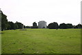

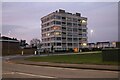
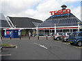
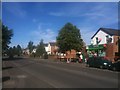
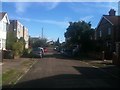
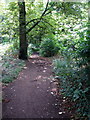
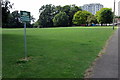
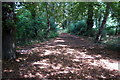
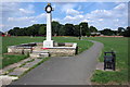
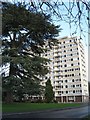
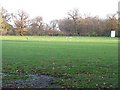
18 photos from this area
Area Information
Key information about the MK41 9SX including its size, population, and administrative classification.
- Area Type
- Postcode
- Area Size
- 2.0 hectares
- Population
- 1231
- Population Density
- 4902 people/km²
House Prices in MK41 9SX
57
Properties
£164,610
Average Sold Price
£49,950
Lowest Price
£325,000
Highest Price
Showing 57 properties
| Address | Type | Beds | Baths | Last Sale Price | Last Sale Date | |
|---|---|---|---|---|---|---|
| 50 Kimble Drive, Bedford, MK41 9SX | Semi-detached | 3 | 1 | £287,500 | Apr 2025 | |
| 24 Kimble Drive, Bedford, MK41 9SX | Detached | 3 | 1 | £265,000 | Apr 2025 | |
| 14 Kimble Drive, Bedford, MK41 9SX | Detached | 3 | 1 | £273,000 | Mar 2025 | |
| 33 Kimble Drive, Bedford, MK41 9SX | Terraced | 3 | 1 | £325,000 | Oct 2024 | |
| 26 Kimble Drive, Bedford, MK41 9SX | house | 3 | - | £220,000 | May 2021 | |
| 45 Kimble Drive, Bedford, MK41 9SX | Terraced | 3 | 1 | £215,000 | Apr 2021 | |
| 20 Kimble Drive, Bedford, MK41 9SX | Terraced | 3 | 1 | £210,000 | Apr 2020 | |
| 48 Kimble Drive, Bedford, MK41 9SX | Semi-detached | 3 | - | £272,500 | Dec 2019 | |
| 37 Kimble Drive, Bedford, MK41 9SX | Terraced | 3 | 1 | £190,000 | Apr 2019 | |
| 52 Kimble Drive, Bedford, MK41 9SX | Detached | 3 | 2 | £280,000 | Feb 2019 |
Page 1 of 6
Energy Efficiency in MK41 9SX
Amenities
Schools
| Rank | School | Type | Entry gender | Ages |
|---|
Explore more schools in this area
Go to Schools tabDemographics
Household Size
Family (3-5 people)
most common
Accommodation Type
Houses
most common
Tenure
61
majority
Ethnic Group
White
most common
Religion
N/A
most common
Household Composition
N/A
most common
Age
47
median
Adults (30-64 years)
most common
Household Deprivation
N/A
with no deprivation
NS-SEC
29
in Lower managerial occupations
Explore more demographic insights in this area
Go to Demographics tabPlanning
Planning Constraints
- Flood RiskPremium
- Ramsar Wetland SitesPremium
- Area of Outstanding Natural BeautyPremium
- Protected Nature ReservePremium
- Protected WoodlandPremium