Area Overview for MK41 8FB
Photos of MK41 8FB
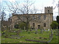
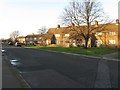
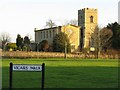
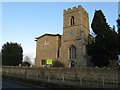
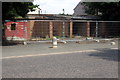

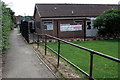
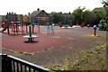
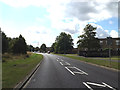
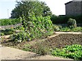
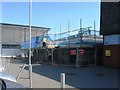
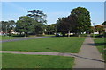
17 photos from this area
Area Information
Key information about the MK41 8FB including its size, population, and administrative classification.
- Area Type
- Postcode
- Area Size
- 8395 m²
- Population
- 1560
- Population Density
- 3625 people/km²
House Prices in MK41 8FB
56
Properties
£261,756
Average Sold Price
£154,980
Lowest Price
£342,000
Highest Price
Showing 56 properties
| Address | Type | Beds | Baths | Last Sale Price | Last Sale Date | |
|---|---|---|---|---|---|---|
| 10, Oakhill Place, High View, Bedford, MK41 8FB | Flat | 2 | 2 | £270,000 | Apr 2025 | |
| 49, Oakhill Place, High View, Bedford, MK41 8FB | Flat | 1 | 1 | £220,000 | Oct 2024 | |
| 55, Oakhill Place, High View, Bedford, MK41 8FB | Flat | - | - | £215,000 | Aug 2024 | |
| 11, Oakhill Place, High View, Bedford, MK41 8FB | Flat | 2 | 2 | £270,000 | Aug 2024 | |
| 41, Oakhill Place, High View, Bedford, MK41 8FB | Flat | - | - | £250,000 | Aug 2024 | |
| 52, Oakhill Place, High View, Bedford, MK41 8FB | Flat | - | - | £280,100 | Nov 2023 | |
| 22, Oakhill Place, High View, Bedford, MK41 8FB | Flat | - | - | £230,000 | Aug 2023 | |
| 27, Oakhill Place, High View, Bedford, MK41 8FB | Flat | - | - | £270,000 | Aug 2023 | |
| 3, Oakhill Place, High View, Bedford, MK41 8FB | Flat | 1 | 1 | £248,500 | Jul 2023 | |
| 17, Oakhill Place, High View, Bedford, MK41 8FB | Flat | 1 | 1 | £240,000 | Sep 2022 |
Page 1 of 6
Energy Efficiency in MK41 8FB
Amenities
Schools
| Rank | School | Type | Entry gender | Ages |
|---|
Explore more schools in this area
Go to Schools tabDemographics
Household Size
One person
most common
Accommodation Type
Houses
most common
Tenure
85
majority
Ethnic Group
White
most common
Religion
N/A
most common
Household Composition
N/A
most common
Age
47
median
Adults (30-64 years)
most common
Household Deprivation
N/A
with no deprivation
NS-SEC
32
in Lower managerial occupations
Explore more demographic insights in this area
Go to Demographics tabPlanning
Planning Constraints
- Flood RiskPremium
- Ramsar Wetland SitesPremium
- Area of Outstanding Natural BeautyPremium
- Protected Nature ReservePremium
- Protected WoodlandPremium