Area Overview for MK41 7QD
Photos of MK41 7QD
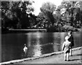
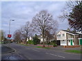
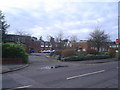
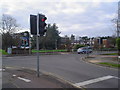
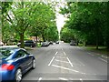
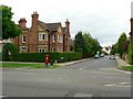
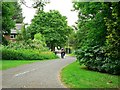
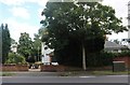
27 photos from this area
Area Information
Key information about the MK41 7QD including its size, population, and administrative classification.
- Area Type
- Postcode
- Area Size
- 1.3 hectares
- Population
- 1210
- Population Density
- 3458 people/km²
House Prices in MK41 7QD
11
Properties
£370,000
Average Sold Price
£360,000
Lowest Price
£380,000
Highest Price
Showing 11 properties
| Address | Type | Beds | Baths | Last Sale Price | Last Sale Date | |
|---|---|---|---|---|---|---|
| 82 Brickhill Drive, Bedford, MK41 7QD | Semi-detached | 3 | 2 | £380,000 | Oct 2024 | |
| 80 Brickhill Drive, Bedford, MK41 7QD | house | - | - | £360,000 | Aug 2022 | |
| 68 Brickhill Drive, Bedford, MK41 7QD | Semi-detached | 4 | 1 | - | - | |
| Post Box At Junction Of Brickhill Drive And, Robin Hill, Bedford, MK41 7QD | commercial | - | - | - | - | |
| 78 Brickhill Drive, Bedford, MK41 7QD | house | - | - | - | - | |
| 76 Brickhill Drive, Bedford, MK41 7QD | Semi-detached | - | - | - | - | |
| 70 Brickhill Drive, Bedford, MK41 7QD | Semi-detached | - | - | - | - | |
| 64 Brickhill Drive, Bedford, MK41 7QD | house | - | - | - | - | |
| 74 Brickhill Drive, Bedford, MK41 7QD | Semi-detached | - | - | - | - | |
| 66 Brickhill Drive, Bedford, MK41 7QD | Semi-detached | - | - | - | - |
Page 1 of 2
Energy Efficiency in MK41 7QD
Amenities
Schools
| Rank | School | Type | Entry gender | Ages |
|---|
Explore more schools in this area
Go to Schools tabDemographics
Household Size
Family (3-5 people)
most common
Accommodation Type
Houses
most common
Tenure
69
majority
Ethnic Group
White
most common
Religion
N/A
most common
Household Composition
N/A
most common
Age
47
median
Adults (30-64 years)
most common
Household Deprivation
N/A
with no deprivation
NS-SEC
35
in Lower managerial occupations
Explore more demographic insights in this area
Go to Demographics tabPlanning
Planning Constraints
- Flood RiskPremium
- Ramsar Wetland SitesPremium
- Area of Outstanding Natural BeautyPremium
- Protected Nature ReservePremium
- Protected WoodlandPremium