Area Overview for MK40 3PR
Photos of MK40 3PR
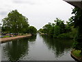
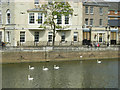
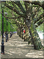
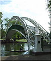
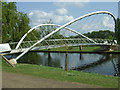

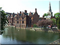
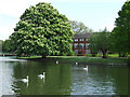
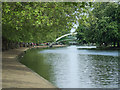
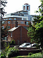
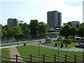
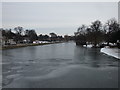
100 photos from this area
Area Information
Key information about the MK40 3PR including its size, population, and administrative classification.
- Area Type
- Postcode
- Area Size
- 4276 m²
- Population
- 1363
- Population Density
- 6281 people/km²
House Prices in MK40 3PR
13
Properties
£565,286
Average Sold Price
£300,000
Lowest Price
£835,000
Highest Price
Showing 13 properties
| Address | Type | Beds | Baths | Last Sale Price | Last Sale Date | |
|---|---|---|---|---|---|---|
| 73 Castle Road, Bedford, MK40 3PR | Semi-detached | 5 | 2 | £820,000 | Oct 2025 | |
| 69 Castle Road, Bedford, MK40 3PR | house | 5 | 2 | £650,000 | Aug 2024 | |
| 87 Castle Road, Bedford, MK40 3PR | Cottage | 1 | 1 | £835,000 | Aug 2018 | |
| 81 Castle Road, Bedford, MK40 3PR | house | 4 | 2 | £560,000 | Jul 2018 | |
| 77 Castle Road, Bedford, MK40 3PR | house | 5 | - | £412,000 | Jul 2012 | |
| 83 Castle Road, Bedford, MK40 3PR | house | 3 | - | £380,000 | Aug 2011 | |
| 85 Castle Road, Bedford, MK40 3PR | Semi-detached | 4 | 2 | £300,000 | May 2011 | |
| 67 Castle Road, Bedford, MK40 3PR | Semi-detached | 5 | 2 | - | - | |
| 79 Castle Road, Bedford, MK40 3PR | Semi-detached | - | - | - | - | |
| 75 Castle Road, Bedford, MK40 3PR | Semi-detached | - | - | - | - |
Page 1 of 2
Energy Efficiency in MK40 3PR
Amenities
Schools
| Rank | School | Type | Entry gender | Ages |
|---|
Explore more schools in this area
Go to Schools tabDemographics
Household Size
One person
most common
Accommodation Type
Houses
most common
Tenure
63
majority
Ethnic Group
White
most common
Religion
N/A
most common
Household Composition
N/A
most common
Age
47
median
Adults (30-64 years)
most common
Household Deprivation
N/A
with no deprivation
NS-SEC
50
in Lower managerial occupations
Explore more demographic insights in this area
Go to Demographics tabPlanning
Planning Constraints
- Flood RiskPremium
- Ramsar Wetland SitesPremium
- Area of Outstanding Natural BeautyPremium
- Protected Nature ReservePremium
- Protected WoodlandPremium