Area Overview for MK40 3DU
Photos of MK40 3DU
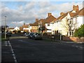
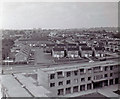
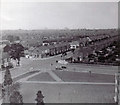
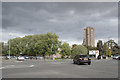
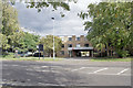
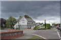
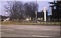
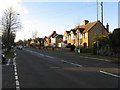
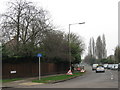
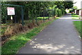
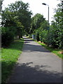
18 photos from this area
Area Information
Key information about the MK40 3DU including its size, population, and administrative classification.
- Area Type
- Postcode
- Area Size
- 2.5 hectares
- Population
- 1743
- Population Density
- 3988 people/km²
House Prices in MK40 3DU
44
Properties
£167,034
Average Sold Price
£40,000
Lowest Price
£258,000
Highest Price
Showing 44 properties
| Address | Type | Beds | Baths | Last Sale Price | Last Sale Date | |
|---|---|---|---|---|---|---|
| 11 Crediton Close, Bedford, MK40 3DU | house | - | - | £225,000 | Sep 2025 | |
| 61 Crediton Close, Bedford, MK40 3DU | Terraced | 2 | 1 | £250,000 | Aug 2025 | |
| 43 Crediton Close, Bedford, MK40 3DU | Terraced | 2 | 1 | £255,000 | Feb 2025 | |
| 7 Crediton Close, Bedford, MK40 3DU | Terraced | 2 | 1 | £258,000 | Oct 2023 | |
| 59 Crediton Close, Bedford, MK40 3DU | Retail | 2 | 1 | £246,000 | Aug 2022 | |
| 35 Crediton Close, Bedford, MK40 3DU | house | - | - | £242,000 | May 2022 | |
| 13 Crediton Close, Bedford, MK40 3DU | Terraced | 2 | 1 | £245,000 | May 2022 | |
| 19 Crediton Close, Bedford, MK40 3DU | Terraced | 2 | 1 | £244,000 | Feb 2022 | |
| 73 Crediton Close, Bedford, MK40 3DU | Terraced | 2 | 1 | £215,000 | Jun 2021 | |
| 57 Crediton Close, Bedford, MK40 3DU | Terraced | - | - | £205,000 | Mar 2021 |
Page 1 of 5
Energy Efficiency in MK40 3DU
Amenities
Schools
| Rank | School | Type | Entry gender | Ages |
|---|
Explore more schools in this area
Go to Schools tabDemographics
Household Size
Two person
most common
Accommodation Type
Houses
most common
Tenure
78
majority
Ethnic Group
White
most common
Religion
N/A
most common
Household Composition
N/A
most common
Age
47
median
Adults (30-64 years)
most common
Household Deprivation
N/A
with no deprivation
NS-SEC
28
in Lower managerial occupations
Explore more demographic insights in this area
Go to Demographics tabPlanning
Planning Constraints
- Flood RiskPremium
- Ramsar Wetland SitesPremium
- Area of Outstanding Natural BeautyPremium
- Protected Nature ReservePremium
- Protected WoodlandPremium