Area Overview for Minden Ward
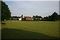
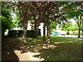
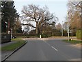
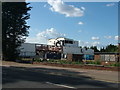
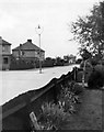
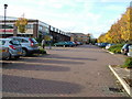
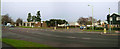
Photos of Minden Ward


Area Information
Living in Minden Ward means residing within a compact district that covers an area of just 2.1 km². This ward forms part of the broader administrative structure of West Suffolk Council, situated within the larger Bury St Edmunds area. You will find this specific electoral division positioned at approximately 52.25°N, 0.69°E, marking its location in the eastern region of England. Minden Ward came into force following the boundary review completed in 2018, with the new boundaries officially taking effect at the election on 2 May 2019. This ward operates alongside other districts including Abbeygate, St Olaves, Tollgate, and part of Westgate Ward to form the wider Tower division. The population within Minden alone is recorded at 5,892 people based on 2021 electoral division profiling figures. As a small unitary ward, Minden offers a tightly defined residential space where local governance and community life intersect closely with the emerging West Suffolk constituency. Residents enjoy a settled existence within a clearly demarcated zone that balances local electoral autonomy with the wider administrative framework of Suffolk.
- Area Type
- District Borough Unitary Ward
- Area Size
- 2.1 km²
- Population
- Not available
- Population Density
- Not available
Demographics
The community in Minden Ward presents a distinctly senior profile, with an overall median age of 70 years old. This figure indicates that the population is significantly older than the national average, defining the character of neighbourhood activity and local service demand. Home ownership stands at 62%, suggesting that two-thirds of residents in Minden Ward own their dwellings outright or with a mortgage. Overwhelmingly, the data reflects a total category for household composition and accommodation types. While specific statistics on the most common age range are unavailable in the current figures, the high median age points to a settlement catering primarily to retirement lifestyles or long-term established families. The existing data does not provide breakdowns for predominant ethnic groups, religious affiliations, or detailed household composition metrics beyond the aggregate total. These limitations mean that while you can confirm a high rate of home ownership, you cannot yet assess the cultural diversity or specific family structures within the ward. The demographic picture remains anchored by age, creating a stable but potentially less diverse social environment compared to younger urban centres.
Household Size
Accommodation Type
Tenure
Ethnic Group
Religion
Household Composition
Age
Household Deprivation
NS-SEC
Explore more demographic insights in this area
Go to Demographics tabPlanning
Planning Constraints
- Flood RiskPremium
- Ramsar Wetland SitesPremium
- Area of Outstanding Natural BeautyPremium
- Protected Nature ReservePremium
- Protected WoodlandPremium
- Crime RiskPremium