Area Overview for Mautby
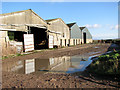
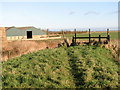
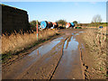
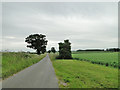
Photos of Mautby


Area Information
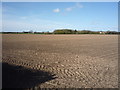
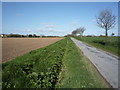
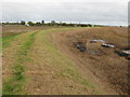
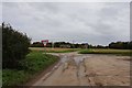
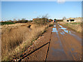
Living in Mautby offers a distinct experience within a civil parish covering 16.6 square kilometres in England. This rural setting defines the daily rhythm for residents who value a settled pace of life away from urban congestion. The area functions as a recognised parish, providing asense of local identity for those choosing homes in Mautby. You will find a community where proximity to the natural landscape shapes the character of the neighbourhood. While specific village centres are not detailed in the current records, the size of the parish suggests a spread of settlements rather than a single dense town centre. Prospective buyers looking for a quieter existence will find the geography conducive to a rural lifestyle. The land size implies significant green space, making it suitable for those who prioritise open views over high-density living. Understanding the boundaries of this civil parish helps you visualise the scale of your potential surroundings. You are looking at a locality measured in kilometres rather than motorway distances or city blocks. The rural classification means you should expect a standard that differs markedly from metropolitan areas.
- Area Type
- Parish
- Area Size
- 16.6 km²
- Population
- Not available
- Population Density
- Not available
Demographics
The community in Mautby is defined by an exceptionally mature population, with a median age of 70 years. This figure points to a neighbourhood primarily inhabited by older residents who have likely lived in their homes for decades. The most common age grouping encompasses the total population, indicating that this demographic profile is the defining characteristic of the area. You should anticipate a resident base that reflects retirement or long-term residency patterns rather than a年轻 workforce with children. Home ownership stands at 71 percent, showing that the majority of households in Mautby have purchased their property outright or through mortgages. This high level of equity suggests financial stability among the local population and low rental dependency. The household composition data confirms that families with younger dependents are not the statistical norm here. Accommodation types are not broken down by specific category in the available records, but the ownership rate strongly suggests traditional residential stock rather than modern build-to-rent developments. Ethnical diversity and specific religious affiliation data are not provided for this parish, so you cannot assume a statistically diverse population beyond the general national baseline. The age structure is the single most informative statistic you have regarding who lives here. It indicates a quiet community with little transient turnover.
Household Size
Accommodation Type
Tenure
Ethnic Group
Religion
Household Composition
Age
Household Deprivation
NS-SEC
Explore more demographic insights in this area
Go to Demographics tabPlanning
Planning Constraints
- Flood RiskPremium
- Area of Outstanding Natural BeautyPremium
- Protected Nature ReservePremium
- Protected WoodlandPremium