Area Overview for LU7 9HE
Photos of LU7 9HE
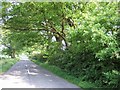
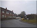
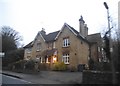
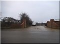
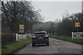
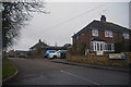
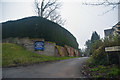
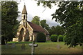

14 photos from this area
Area Information
Key information about the LU7 9HE including its size, population, and administrative classification.
- Area Type
- Postcode
- Area Size
- 5.4 hectares
- Population
- 1972
- Population Density
- 80 people/km²
House Prices in LU7 9HE
7
Properties
£427,333
Average Sold Price
£250,000
Lowest Price
£639,000
Highest Price
Showing 7 properties
| Address | Type | Beds | Baths | Last Sale Price | Last Sale Date | |
|---|---|---|---|---|---|---|
| Pineridge House, Little Hill, Great Billington, LU7 9HE | house | - | - | £625,000 | Sep 2021 | |
| The Lodge, Little Hill, Great Billington, LU7 9HE | Bungalow | - | - | £305,000 | Jan 2016 | |
| 1 Little Hill, Great Billington, LU7 9HE | Bungalow | 3 | 1 | £325,000 | Nov 2015 | |
| Old Grovebury Manor Farm, Little Hill, Great Billington, LU7 9HE | house | 4 | - | £639,000 | Oct 2012 | |
| Willow Bank, Little Hill, Great Billington, LU7 9HE | Terraced | - | - | £250,000 | Aug 2005 | |
| Hilltop Farm, Little Hill, Great Billington, LU7 9HE | Detached | 4 | 3 | £420,000 | Oct 1999 | |
| Lee Cottage, Little Hill, Great Billington, LU7 9HE | Detached | 3 | 1 | - | - |
Energy Efficiency in LU7 9HE
Amenities
Schools
| Rank | School | Type | Entry gender | Ages |
|---|
Explore more schools in this area
Go to Schools tabDemographics
Household Size
Two person
most common
Accommodation Type
Houses
most common
Tenure
81
majority
Ethnic Group
White
most common
Religion
N/A
most common
Household Composition
N/A
most common
Age
47
median
Adults (30-64 years)
most common
Household Deprivation
N/A
with no deprivation
NS-SEC
43
in Lower managerial occupations
Explore more demographic insights in this area
Go to Demographics tabPlanning
Planning Constraints
- Flood RiskPremium
- Ramsar Wetland SitesPremium
- Area of Outstanding Natural BeautyPremium
- Protected Nature ReservePremium
- Protected WoodlandPremium