Area Overview for LU7 2SL
Photos of LU7 2SL
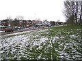
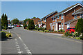
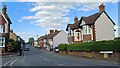
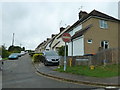
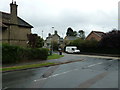
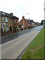
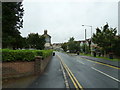
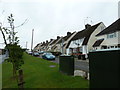
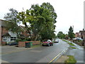
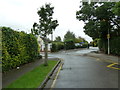
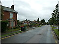
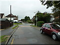
34 photos from this area
Area Information
Key information about the LU7 2SL including its size, population, and administrative classification.
- Area Type
- Postcode
- Area Size
- 1.6 hectares
- Population
- 1099
- Population Density
- 1447 people/km²
House Prices in LU7 2SL
42
Properties
£207,400
Average Sold Price
£48,500
Lowest Price
£355,000
Highest Price
Showing 42 properties
| Address | Type | Beds | Baths | Last Sale Price | Last Sale Date | |
|---|---|---|---|---|---|---|
| 153 Knaves Hill, Linslade, LU7 2SL | house | 3 | 1 | £320,000 | Jun 2025 | |
| 161 Knaves Hill, Linslade, LU7 2SL | Terraced | 3 | 1 | £295,000 | Jun 2025 | |
| 165 Knaves Hill, Linslade, LU7 2SL | Semi-detached | 3 | 1 | £328,000 | Jan 2025 | |
| 159 Knaves Hill, Linslade, LU7 2SL | Terraced | 3 | 1 | £290,000 | Feb 2023 | |
| 187 Knaves Hill, Linslade, LU7 2SL | house | - | - | £350,000 | Jan 2023 | |
| 141 Knaves Hill, Linslade, LU7 2SL | Retail | 3 | 1 | £355,000 | Aug 2022 | |
| 157 Knaves Hill, Linslade, LU7 2SL | Terraced | 3 | 1 | £255,000 | Mar 2021 | |
| 125 Knaves Hill, Linslade, LU7 2SL | Semi-detached | 3 | 1 | £260,000 | Jun 2020 | |
| 193 Knaves Hill, Linslade, LU7 2SL | Semi-detached | 3 | 1 | £266,000 | Nov 2019 | |
| 189 Knaves Hill, Linslade, LU7 2SL | Semi-detached | - | - | £135,000 | Sep 2019 |
Page 1 of 5
Energy Efficiency in LU7 2SL
Amenities
Schools
| Rank | School | Type | Entry gender | Ages |
|---|
Explore more schools in this area
Go to Schools tabDemographics
Household Size
Two person
most common
Accommodation Type
Houses
most common
Tenure
92
majority
Ethnic Group
White
most common
Religion
N/A
most common
Household Composition
N/A
most common
Age
47
median
Adults (30-64 years)
most common
Household Deprivation
N/A
with no deprivation
NS-SEC
45
in Lower managerial occupations
Explore more demographic insights in this area
Go to Demographics tabPlanning
Planning Constraints
- Flood RiskPremium
- Ramsar Wetland SitesPremium
- Area of Outstanding Natural BeautyPremium
- Protected Nature ReservePremium
- Protected WoodlandPremium