Area Overview for LU6 3NZ
Photos of LU6 3NZ
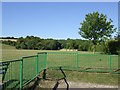
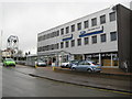
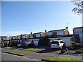
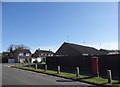
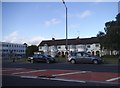
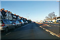
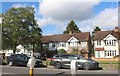
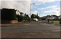
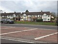
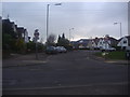
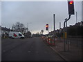
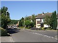
15 photos from this area
Area Information
Key information about the LU6 3NZ including its size, population, and administrative classification.
- Area Type
- Postcode
- Area Size
- 2.1 hectares
- Population
- 1571
- Population Density
- 3723 people/km²
House Prices in LU6 3NZ
12
Properties
£265,000
Average Sold Price
£97,000
Lowest Price
£380,000
Highest Price
Showing 12 properties
| Address | Type | Beds | Baths | Last Sale Price | Last Sale Date | |
|---|---|---|---|---|---|---|
| 24 Lowther Road, Dunstable, LU6 3NZ | Bungalow | 3 | 1 | £380,000 | Jun 2022 | |
| 26 Lowther Road, Dunstable, LU6 3NZ | Semi-detached | 3 | 1 | £365,000 | Jul 2019 | |
| 36 Lowther Road, Dunstable, LU6 3NZ | Semi-detached | 3 | 1 | £350,000 | Sep 2017 | |
| 22 Lowther Road, Dunstable, LU6 3NZ | Bungalow | 3 | 1 | £305,000 | Mar 2016 | |
| 34 Lowther Road, Dunstable, LU6 3NZ | Bungalow | - | - | £230,000 | Dec 2014 | |
| 32 Lowther Road, Dunstable, LU6 3NZ | Bungalow | 3 | - | £230,000 | Sep 2014 | |
| 30 Lowther Road, Dunstable, LU6 3NZ | Bungalow | 3 | - | £203,000 | May 2013 | |
| 40 Lowther Road, Dunstable, LU6 3NZ | Semi-detached | - | - | £225,000 | Apr 2007 | |
| 38 Lowther Road, Dunstable, LU6 3NZ | Semi-detached | - | - | £97,000 | Mar 1999 | |
| 42 Lowther Road, Dunstable, LU6 3NZ | Detached | - | - | - | - |
Page 1 of 2
Energy Efficiency in LU6 3NZ
Amenities
Schools
| Rank | School | Type | Entry gender | Ages |
|---|
Explore more schools in this area
Go to Schools tabDemographics
Household Size
Two person
most common
Accommodation Type
Houses
most common
Tenure
86
majority
Ethnic Group
White
most common
Religion
N/A
most common
Household Composition
N/A
most common
Age
47
median
Adults (30-64 years)
most common
Household Deprivation
N/A
with no deprivation
NS-SEC
41
in Lower managerial occupations
Explore more demographic insights in this area
Go to Demographics tabPlanning
Planning Constraints
- Flood RiskPremium
- Ramsar Wetland SitesPremium
- Area of Outstanding Natural BeautyPremium
- Protected Nature ReservePremium
- Protected WoodlandPremium