Area Overview for LU6 3BB
Photos of LU6 3BB
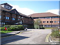
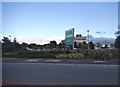


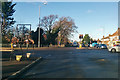
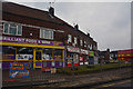
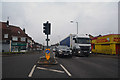
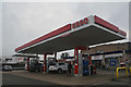
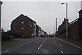
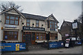


59 photos from this area
Area Information
Key information about the LU6 3BB including its size, population, and administrative classification.
- Area Type
- Postcode
- Area Size
- 1.1 hectares
- Population
- 2247
- Population Density
- 7237 people/km²
House Prices in LU6 3BB
57
Properties
£185,900
Average Sold Price
£10,000
Lowest Price
£345,000
Highest Price
Showing 57 properties
| Address | Type | Beds | Baths | Last Sale Price | Last Sale Date | |
|---|---|---|---|---|---|---|
| 4, Hudson Court, Victoria Street, Dunstable, LU6 3BB | Maisonette | 3 | 2 | £255,000 | Mar 2025 | |
| 130 Victoria Street, Dunstable, LU6 3BB | Terraced | 3 | 1 | £287,500 | Feb 2024 | |
| 9, Hudson Court, Victoria Street, Dunstable, LU6 3BB | Terraced | 2 | 1 | £240,000 | Feb 2024 | |
| 2, Hudson Court, Victoria Street, Dunstable, LU6 3BB | Flat | 1 | 1 | £115,000 | Feb 2024 | |
| 124 Victoria Street, Dunstable, LU6 3BB | Terraced | 3 | 1 | £210,000 | Oct 2023 | |
| 6, Hudson Court, Victoria Street, Dunstable, LU6 3BB | Flat | - | - | £121,500 | May 2023 | |
| 7, Hudson Court, Victoria Street, Dunstable, LU6 3BB | Maisonette | 3 | 1 | £230,000 | Oct 2022 | |
| 143 Victoria Street, Dunstable, LU6 3BB | Terraced | 2 | 2 | £306,000 | Sep 2022 | |
| 116 Victoria Street, Dunstable, LU6 3BB | Retail | 4 | 1 | £345,000 | Jul 2022 | |
| 135 Victoria Street, Dunstable, LU6 3BB | house | - | - | £220,000 | Apr 2022 |
Page 1 of 6
Energy Efficiency in LU6 3BB
Amenities
Schools
| Rank | School | Type | Entry gender | Ages |
|---|
Explore more schools in this area
Go to Schools tabDemographics
Household Size
One person
most common
Accommodation Type
Flats
most common
Tenure
48
majority
Ethnic Group
White
most common
Religion
N/A
most common
Household Composition
N/A
most common
Age
47
median
Adults (30-64 years)
most common
Household Deprivation
N/A
with no deprivation
NS-SEC
28
in Lower managerial occupations
Explore more demographic insights in this area
Go to Demographics tabPlanning
Planning Constraints
- Flood RiskPremium
- Ramsar Wetland SitesPremium
- Area of Outstanding Natural BeautyPremium
- Protected Nature ReservePremium
- Protected WoodlandPremium