Area Overview for LU6 1TW
Photos of LU6 1TW
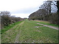
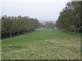
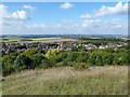

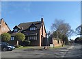
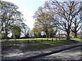
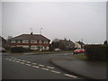
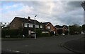
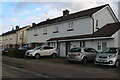
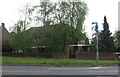
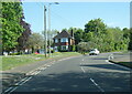

29 photos from this area
Area Information
Key information about the LU6 1TW including its size, population, and administrative classification.
- Area Type
- Postcode
- Area Size
- 1.5 hectares
- Population
- 1196
- Population Density
- 3632 people/km²
House Prices in LU6 1TW
67
Properties
£181,646
Average Sold Price
£47,000
Lowest Price
£330,000
Highest Price
Showing 67 properties
| Address | Type | Beds | Baths | Last Sale Price | Last Sale Date | |
|---|---|---|---|---|---|---|
| 38 Weatherby, Dunstable, LU6 1TW | Terraced | 3 | 1 | £325,000 | Aug 2024 | |
| 80 Weatherby, Dunstable, LU6 1TW | Terraced | 3 | 1 | £330,000 | Nov 2022 | |
| 84 Weatherby, Dunstable, LU6 1TW | Retail | 2 | 1 | £200,000 | May 2022 | |
| 2 Weatherby, Dunstable, LU6 1TW | Semi-detached | 4 | 2 | £313,000 | Aug 2019 | |
| 46 Weatherby, Dunstable, LU6 1TW | Terraced | 3 | 1 | £272,000 | Nov 2017 | |
| 14 Weatherby, Dunstable, LU6 1TW | house | 3 | - | £260,000 | Sep 2016 | |
| 40 Weatherby, Dunstable, LU6 1TW | Terraced | 3 | 1 | £217,000 | Jan 2016 | |
| 66 Weatherby, Dunstable, LU6 1TW | Terraced | 2 | 1 | £182,000 | Sep 2015 | |
| 22 Weatherby, Dunstable, LU6 1TW | Bungalow | - | - | £215,000 | Aug 2015 | |
| 16 Weatherby, Dunstable, LU6 1TW | Semi-detached | 3 | - | £232,000 | Feb 2015 |
Page 1 of 7
Energy Efficiency in LU6 1TW
Amenities
Schools
| Rank | School | Type | Entry gender | Ages |
|---|
Explore more schools in this area
Go to Schools tabDemographics
Household Size
Family (3-5 people)
most common
Accommodation Type
Houses
most common
Tenure
61
majority
Ethnic Group
White
most common
Religion
N/A
most common
Household Composition
N/A
most common
Age
47
median
Adults (30-64 years)
most common
Household Deprivation
N/A
with no deprivation
NS-SEC
25
in Lower managerial occupations
Explore more demographic insights in this area
Go to Demographics tabPlanning
Planning Constraints
- Flood RiskPremium
- Ramsar Wetland SitesPremium
- Area of Outstanding Natural BeautyPremium
- Protected Nature ReservePremium
- Protected WoodlandPremium