Area Overview for LU6 1SG
Photos of LU6 1SG
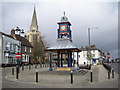
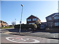
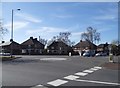
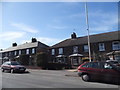
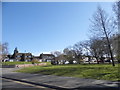
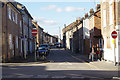
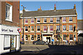


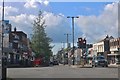
77 photos from this area
Area Information
Key information about the LU6 1SG including its size, population, and administrative classification.
- Area Type
- Postcode
- Area Size
- 2.2 hectares
- Population
- 1668
- Population Density
- 3788 people/km²
House Prices in LU6 1SG
21
Properties
£304,333
Average Sold Price
£145,000
Lowest Price
£765,000
Highest Price
Showing 21 properties
| Address | Type | Beds | Baths | Last Sale Price | Last Sale Date | |
|---|---|---|---|---|---|---|
| 139 West Street, Dunstable, LU6 1SG | house | - | - | £510,000 | Jun 2021 | |
| 109 West Street, Dunstable, LU6 1SG | Semi-detached | 3 | 1 | £320,000 | Apr 2021 | |
| 141 West Street, Dunstable, LU6 1SG | Terraced | 3 | 1 | £322,000 | Jun 2020 | |
| 113 West Street, Dunstable, LU6 1SG | Detached | 4 | 1 | £392,500 | Dec 2019 | |
| 133 West Street, Dunstable, LU6 1SG | Semi-detached | 3 | 1 | £392,000 | Oct 2019 | |
| 149 West Street, Dunstable, LU6 1SG | Detached | 5 | 2 | £765,000 | Feb 2019 | |
| 121 West Street, Dunstable, LU6 1SG | Terraced | 2 | 1 | £210,000 | Nov 2017 | |
| 125 West Street, Dunstable, LU6 1SG | Terraced | 2 | 1 | £195,000 | Apr 2017 | |
| 131 West Street, Dunstable, LU6 1SG | Semi-detached | 3 | 1 | £273,000 | Jul 2016 | |
| Kirby House Mental Nursing Home, 135 West Street, Dunstable, LU6 1SG | hospital_care_home | - | - | £249,999 | Nov 2013 |
Page 1 of 3
Energy Efficiency in LU6 1SG
Amenities
Schools
| Rank | School | Type | Entry gender | Ages |
|---|
Explore more schools in this area
Go to Schools tabDemographics
Household Size
Family (3-5 people)
most common
Accommodation Type
Houses
most common
Tenure
62
majority
Ethnic Group
White
most common
Religion
N/A
most common
Household Composition
N/A
most common
Age
47
median
Adults (30-64 years)
most common
Household Deprivation
N/A
with no deprivation
NS-SEC
31
in Lower managerial occupations
Explore more demographic insights in this area
Go to Demographics tabPlanning
Planning Constraints
- Flood RiskPremium
- Ramsar Wetland SitesPremium
- Area of Outstanding Natural BeautyPremium
- Protected Nature ReservePremium
- Protected WoodlandPremium