Area Overview for LU5 5SS
Photos of LU5 5SS
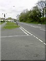
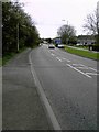
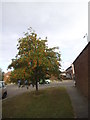
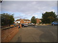
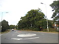
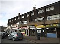
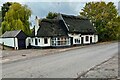
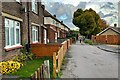
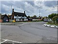
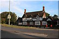

15 photos from this area
Area Information
Key information about the LU5 5SS including its size, population, and administrative classification.
- Area Type
- Postcode
- Area Size
- 9427 m²
- Population
- 2488
- Population Density
- 5531 people/km²
House Prices in LU5 5SS
30
Properties
£149,648
Average Sold Price
£42,000
Lowest Price
£287,000
Highest Price
Showing 30 properties
| Address | Type | Beds | Baths | Last Sale Price | Last Sale Date | |
|---|---|---|---|---|---|---|
| 31 Nash Close, Houghton Regis, LU5 5SS | house | 1 | 1 | £201,000 | Jul 2024 | |
| 23 Nash Close, Houghton Regis, LU5 5SS | Flat | 1 | 1 | £180,000 | Aug 2023 | |
| 3 Nash Close, Houghton Regis, LU5 5SS | house | 3 | - | £287,000 | Aug 2022 | |
| 15 Nash Close, Houghton Regis, LU5 5SS | Terraced | 2 | 1 | £265,000 | Aug 2022 | |
| 5 Nash Close, Houghton Regis, LU5 5SS | Terraced | 2 | 1 | £244,000 | Nov 2021 | |
| 19 Nash Close, Houghton Regis, LU5 5SS | Terraced | 2 | - | £235,000 | Sep 2021 | |
| 8 Nash Close, Houghton Regis, LU5 5SS | Semi-detached | 1 | 1 | £152,000 | Jul 2020 | |
| 14 Nash Close, Houghton Regis, LU5 5SS | Terraced | 2 | 1 | £215,000 | Nov 2018 | |
| 26 Nash Close, Houghton Regis, LU5 5SS | house | - | - | £220,000 | Feb 2018 | |
| 22 Nash Close, Houghton Regis, LU5 5SS | Maisonette | 1 | - | £117,000 | Aug 2016 |
Page 1 of 3
Energy Efficiency in LU5 5SS
Amenities
Schools
| Rank | School | Type | Entry gender | Ages |
|---|
Explore more schools in this area
Go to Schools tabDemographics
Household Size
Family (3-5 people)
most common
Accommodation Type
Houses
most common
Tenure
53
majority
Ethnic Group
White
most common
Religion
N/A
most common
Household Composition
N/A
most common
Age
47
median
Adults (30-64 years)
most common
Household Deprivation
N/A
with no deprivation
NS-SEC
28
in Lower managerial occupations
Explore more demographic insights in this area
Go to Demographics tabPlanning
Planning Constraints
- Flood RiskPremium
- Ramsar Wetland SitesPremium
- Area of Outstanding Natural BeautyPremium
- Protected Nature ReservePremium
- Protected WoodlandPremium