Area Overview for LU4 8SW
Photos of LU4 8SW
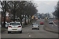
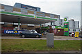
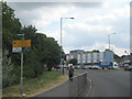
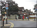

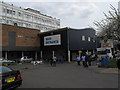
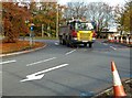
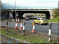
39 photos from this area
Area Information
Key information about the LU4 8SW including its size, population, and administrative classification.
- Area Type
- Postcode
- Area Size
- 1.1 hectares
- Population
- 2204
- Population Density
- 9857 people/km²
House Prices in LU4 8SW
20
Properties
£156,426
Average Sold Price
£29,000
Lowest Price
£296,000
Highest Price
Showing 20 properties
| Address | Type | Beds | Baths | Last Sale Price | Last Sale Date | |
|---|---|---|---|---|---|---|
| 127 Bradley Road, Luton, LU4 8SW | Semi-detached | 3 | 1 | £296,000 | Nov 2019 | |
| 109 Bradley Road, Luton, LU4 8SW | house | - | - | £245,000 | Jul 2019 | |
| 117 Bradley Road, Luton, LU4 8SW | Semi-detached | 3 | 1 | £250,000 | Jan 2019 | |
| 88 Bradley Road, Luton, LU4 8SW | house | 3 | 1 | £120,000 | Sep 2016 | |
| 123 Bradley Road, Luton, LU4 8SW | house | - | - | £124,460 | Dec 2013 | |
| 121 Bradley Road, Luton, LU4 8SW | house | - | - | £124,460 | Dec 2013 | |
| 111 Bradley Road, Luton, LU4 8SW | house | 3 | - | £152,000 | Nov 2012 | |
| 125 Bradley Road, Luton, LU4 8SW | Semi-detached | 3 | 1 | £146,000 | Apr 2012 | |
| 92 Bradley Road, Luton, LU4 8SW | Terraced | - | - | £140,000 | Feb 2009 | |
| 98 Bradley Road, Luton, LU4 8SW | Detached | - | - | £220,000 | Jul 2008 |
Page 1 of 2
Energy Efficiency in LU4 8SW
Amenities
Schools
| Rank | School | Type | Entry gender | Ages |
|---|
Explore more schools in this area
Go to Schools tabDemographics
Household Size
Family (3-5 people)
most common
Accommodation Type
Houses
most common
Tenure
63
majority
Ethnic Group
asian_total
most common
Religion
N/A
most common
Household Composition
N/A
most common
Age
22
median
Adults (30-64 years)
most common
Household Deprivation
N/A
with no deprivation
NS-SEC
19
in Lower managerial occupations
Explore more demographic insights in this area
Go to Demographics tabPlanning
Planning Constraints
- Flood RiskPremium
- Ramsar Wetland SitesPremium
- Area of Outstanding Natural BeautyPremium
- Protected Nature ReservePremium
- Protected WoodlandPremium