Area Overview for LU4 8LX
Photos of LU4 8LX
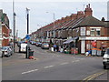
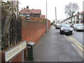
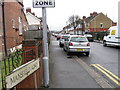
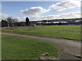
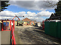
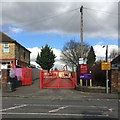
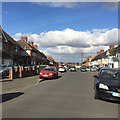
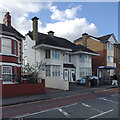
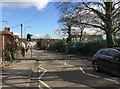
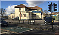
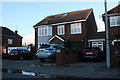
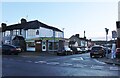
18 photos from this area
Area Information
Key information about the LU4 8LX including its size, population, and administrative classification.
- Area Type
- Postcode
- Area Size
- 1.3 hectares
- Population
- 2492
- Population Density
- 5923 people/km²
House Prices in LU4 8LX
27
Properties
£159,217
Average Sold Price
£41,000
Lowest Price
£375,000
Highest Price
Showing 27 properties
| Address | Type | Beds | Baths | Last Sale Price | Last Sale Date | |
|---|---|---|---|---|---|---|
| 282 Selbourne Road, Luton, LU4 8LX | Detached | 3 | 1 | £375,000 | Aug 2024 | |
| 274 Selbourne Road, Luton, LU4 8LX | Terraced | 3 | 1 | £290,000 | Jul 2024 | |
| 276 Selbourne Road, Luton, LU4 8LX | house | - | - | £250,000 | Jan 2021 | |
| 292 Selbourne Road, Luton, LU4 8LX | Detached | 5 | 2 | £155,000 | Mar 2015 | |
| 213 Selbourne Road, Luton, LU4 8LX | Detached | 3 | 2 | £140,000 | Jan 2014 | |
| 288 Selbourne Road, Luton, LU4 8LX | Semi-detached | 3 | - | £160,000 | Aug 2013 | |
| 272 Selbourne Road, Luton, LU4 8LX | house | - | - | £177,000 | Jul 2007 | |
| 209 Selbourne Road, Luton, LU4 8LX | house | - | - | £163,500 | Oct 2006 | |
| 270 Selbourne Road, Luton, LU4 8LX | house | 3 | 1 | £150,000 | Feb 2006 | |
| 286 Selbourne Road, Luton, LU4 8LX | house | - | - | £59,826 | Nov 2005 |
Page 1 of 3
Energy Efficiency in LU4 8LX
Amenities
Schools
| Rank | School | Type | Entry gender | Ages |
|---|
Explore more schools in this area
Go to Schools tabDemographics
Household Size
Family (3-5 people)
most common
Accommodation Type
Houses
most common
Tenure
57
majority
Ethnic Group
asian_total
most common
Religion
N/A
most common
Household Composition
N/A
most common
Age
22
median
Adults (30-64 years)
most common
Household Deprivation
N/A
with no deprivation
NS-SEC
17
in Lower managerial occupations
Explore more demographic insights in this area
Go to Demographics tabPlanning
Planning Constraints
- Flood RiskPremium
- Ramsar Wetland SitesPremium
- Area of Outstanding Natural BeautyPremium
- Protected Nature ReservePremium
- Protected WoodlandPremium