Area Overview for LU4 8JD
Photos of LU4 8JD
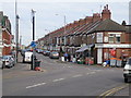
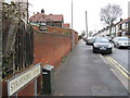
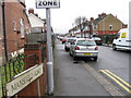
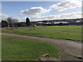
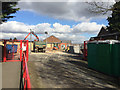
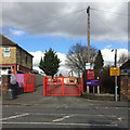
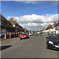
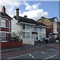
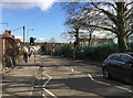
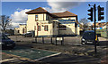
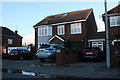
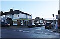
18 photos from this area
Area Information
Key information about the LU4 8JD including its size, population, and administrative classification.
- Area Type
- Postcode
- Area Size
- 2.1 hectares
- Population
- 1643
- Population Density
- 11562 people/km²
House Prices in LU4 8JD
83
Properties
£131,671
Average Sold Price
£22,500
Lowest Price
£300,000
Highest Price
Showing 83 properties
| Address | Type | Beds | Baths | Last Sale Price | Last Sale Date | |
|---|---|---|---|---|---|---|
| 30 Westbourne Road, Luton, LU4 8JD | Semi-detached | 4 | 2 | £255,000 | Jun 2025 | |
| 40 Westbourne Road, Luton, LU4 8JD | Semi-detached | 3 | 1 | £265,000 | Dec 2023 | |
| 14 Westbourne Road, Luton, LU4 8JD | Retail | 1 | 1 | £163,000 | May 2022 | |
| 16 Westbourne Road, Luton, LU4 8JD | Terraced | 1 | 1 | £165,000 | Mar 2022 | |
| 39 Westbourne Road, Luton, LU4 8JD | house | - | - | £300,000 | Mar 2019 | |
| 13A Westbourne Road, Luton, LU4 8JD | Flat | 2 | - | £149,000 | Jul 2017 | |
| 17 Westbourne Road, Luton, LU4 8JD | house | - | - | £210,000 | Mar 2017 | |
| 11 Westbourne Road, Luton, LU4 8JD | house | - | - | £160,000 | Jan 2012 | |
| 20 Westbourne Road, Luton, LU4 8JD | Semi-detached | 4 | - | £218,000 | Dec 2007 | |
| 22 Westbourne Road, Luton, LU4 8JD | house | - | - | £227,000 | Oct 2007 |
Page 1 of 9
Energy Efficiency in LU4 8JD
Amenities
Schools
| Rank | School | Type | Entry gender | Ages |
|---|
Explore more schools in this area
Go to Schools tabDemographics
Household Size
Family (3-5 people)
most common
Accommodation Type
Houses
most common
Tenure
30
majority
Ethnic Group
asian_total
most common
Religion
N/A
most common
Household Composition
N/A
most common
Age
47
median
Adults (30-64 years)
most common
Household Deprivation
N/A
with no deprivation
NS-SEC
14
in Lower managerial occupations
Explore more demographic insights in this area
Go to Demographics tabPlanning
Planning Constraints
- Flood RiskPremium
- Ramsar Wetland SitesPremium
- Area of Outstanding Natural BeautyPremium
- Protected Nature ReservePremium
- Protected WoodlandPremium