Area Overview for LU4 0SD
Photos of LU4 0SD
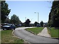
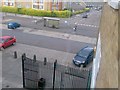
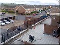
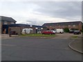
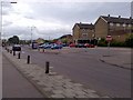
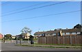


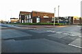
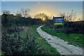
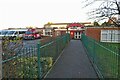
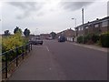
18 photos from this area
Area Information
Key information about the LU4 0SD including its size, population, and administrative classification.
- Area Type
- Postcode
- Area Size
- 2.0 hectares
- Population
- 1683
- Population Density
- 7186 people/km²
House Prices in LU4 0SD
30
Properties
£117,767
Average Sold Price
£59,500
Lowest Price
£245,000
Highest Price
Showing 30 properties
| Address | Type | Beds | Baths | Last Sale Price | Last Sale Date | |
|---|---|---|---|---|---|---|
| 3 Regis Road, Luton, LU4 0SD | Terraced | 3 | 1 | £245,000 | Feb 2019 | |
| 23 Regis Road, Luton, LU4 0SD | Terraced | 2 | 1 | £145,000 | Apr 2013 | |
| 51 Regis Road, Luton, LU4 0SD | house | 4 | - | £173,000 | Oct 2012 | |
| 15 Regis Road, Luton, LU4 0SD | Terraced | 3 | 1 | £130,000 | Sep 2010 | |
| 49 Regis Road, Luton, LU4 0SD | Semi-detached | - | - | £130,000 | Sep 2003 | |
| 27 Regis Road, Luton, LU4 0SD | Terraced | - | - | £99,995 | Nov 2002 | |
| 29 Regis Road, Luton, LU4 0SD | Terraced | 3 | 1 | £95,000 | Jul 2002 | |
| 41 Regis Road, Luton, LU4 0SD | Semi-detached | - | - | £86,000 | Oct 2001 | |
| 11 Regis Road, Luton, LU4 0SD | house | 2 | 1 | £59,950 | Sep 2001 | |
| 33 Regis Road, Luton, LU4 0SD | Terraced | 3 | 1 | £71,995 | Sep 2001 |
Page 1 of 3
Energy Efficiency in LU4 0SD
Amenities
Schools
| Rank | School | Type | Entry gender | Ages |
|---|
Explore more schools in this area
Go to Schools tabDemographics
Household Size
Family (3-5 people)
most common
Accommodation Type
Houses
most common
Tenure
50
majority
Ethnic Group
White
most common
Religion
N/A
most common
Household Composition
N/A
most common
Age
47
median
Adults (30-64 years)
most common
Household Deprivation
N/A
with no deprivation
NS-SEC
19
in Lower managerial occupations
Explore more demographic insights in this area
Go to Demographics tabPlanning
Planning Constraints
- Flood RiskPremium
- Ramsar Wetland SitesPremium
- Area of Outstanding Natural BeautyPremium
- Protected Nature ReservePremium
- Protected WoodlandPremium