Area Overview for LU4 0ET
Photos of LU4 0ET
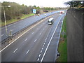
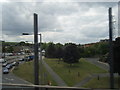
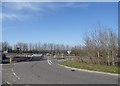
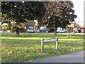
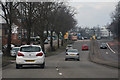
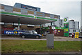
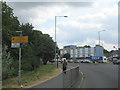
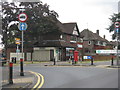

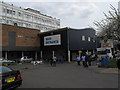
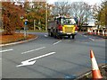
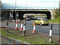
39 photos from this area
Area Information
Key information about the LU4 0ET including its size, population, and administrative classification.
- Area Type
- Postcode
- Area Size
- 2.3 hectares
- Population
- 1583
- Population Density
- 4952 people/km²
House Prices in LU4 0ET
21
Properties
£212,063
Average Sold Price
£162,500
Lowest Price
£315,000
Highest Price
Showing 21 properties
| Address | Type | Beds | Baths | Last Sale Price | Last Sale Date | |
|---|---|---|---|---|---|---|
| 9 Calnwood Road, Luton, LU4 0ET | Bungalow | 4 | 2 | £270,000 | May 2019 | |
| 1 Calnwood Road, Luton, LU4 0ET | Bungalow | 2 | 4 | £315,000 | Feb 2019 | |
| 5 Calnwood Road, Luton, LU4 0ET | Semi-detached | 3 | 1 | £225,000 | Dec 2015 | |
| 11 Calnwood Road, Luton, LU4 0ET | Bungalow | 2 | - | £205,000 | Nov 2013 | |
| 1A Calnwood Road, Luton, LU4 0ET | Bungalow | - | - | £163,500 | Mar 2011 | |
| 7 Calnwood Road, Luton, LU4 0ET | Semi-detached | - | - | £178,000 | Jun 2008 | |
| 21 Calnwood Road, Luton, LU4 0ET | Bungalow | 3 | 1 | £177,500 | Jan 2007 | |
| 13 Calnwood Road, Luton, LU4 0ET | Bungalow | 3 | - | £162,500 | Jun 2005 | |
| Lime Trees, Calnwood Road, Luton, LU4 0ET | undefined | - | - | - | - | |
| Entrance To Nurses Home, Luton And Dunstable Hospital, Lewsey Road, Luton, LU4 0ET | Flat | - | - | - | - |
Page 1 of 3
Energy Efficiency in LU4 0ET
Amenities
Schools
| Rank | School | Type | Entry gender | Ages |
|---|
Explore more schools in this area
Go to Schools tabDemographics
Household Size
Family (3-5 people)
most common
Accommodation Type
Houses
most common
Tenure
67
majority
Ethnic Group
White
most common
Religion
N/A
most common
Household Composition
N/A
most common
Age
47
median
Adults (30-64 years)
most common
Household Deprivation
N/A
with no deprivation
NS-SEC
31
in Lower managerial occupations
Explore more demographic insights in this area
Go to Demographics tabPlanning
Planning Constraints
- Flood RiskPremium
- Ramsar Wetland SitesPremium
- Area of Outstanding Natural BeautyPremium
- Protected Nature ReservePremium
- Protected WoodlandPremium