Area Overview for LU3 3PB
Photos of LU3 3PB
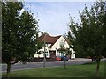
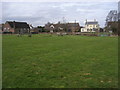
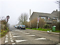

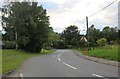
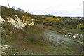
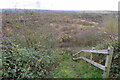
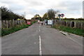
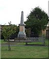
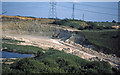
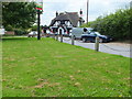
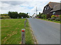
12 photos from this area
Area Information
Key information about the LU3 3PB including its size, population, and administrative classification.
- Area Type
- Postcode
- Area Size
- 1.3 km²
- Population
- 2345
- Population Density
- 100 people/km²
House Prices in LU3 3PB
51
Properties
£256,375
Average Sold Price
£100,000
Lowest Price
£858,000
Highest Price
Showing 51 properties
| Address | Type | Beds | Baths | Last Sale Price | Last Sale Date | |
|---|---|---|---|---|---|---|
| 49 Church Road, Sundon, LU3 3PB | Flat | - | - | £147,500 | May 2023 | |
| 95 Church Road, Sundon, LU3 3PB | Land | - | - | £858,000 | Mar 2023 | |
| 69 Church Road, Sundon, LU3 3PB | Terraced | 3 | 1 | £207,500 | Dec 2020 | |
| 61 Church Road, Sundon, LU3 3PB | house | - | - | £235,000 | May 2018 | |
| 17 Church Road, Sundon, LU3 3PB | house | - | - | £215,000 | May 2015 | |
| 15 Church Road, Sundon, LU3 3PB | house | 3 | - | £150,000 | Jun 2012 | |
| Orchard Cottage, Church Road, Sundon, LU3 3PB | house | - | - | £371,000 | Feb 2012 | |
| 7 Church Road, Sundon, LU3 3PB | house | 2 | - | £169,750 | Oct 2010 | |
| 31 Church Road, Sundon, LU3 3PB | Flat | 1 | 1 | £100,000 | Aug 2006 | |
| 97 Church Road, Sundon, LU3 3PB | Bungalow | 6 | 3 | £110,000 | Sep 1996 |
Page 1 of 6
Energy Efficiency in LU3 3PB
Amenities
Schools
| Rank | School | Type | Entry gender | Ages |
|---|
Explore more schools in this area
Go to Schools tabDemographics
Household Size
Family (3-5 people)
most common
Accommodation Type
Houses
most common
Tenure
68
majority
Ethnic Group
White
most common
Religion
N/A
most common
Household Composition
N/A
most common
Age
47
median
Adults (30-64 years)
most common
Household Deprivation
N/A
with no deprivation
NS-SEC
38
in Lower managerial occupations
Explore more demographic insights in this area
Go to Demographics tabPlanning
Planning Constraints
- Flood RiskPremium
- Ramsar Wetland SitesPremium
- Area of Outstanding Natural BeautyPremium
- Protected Nature ReservePremium
- Protected WoodlandPremium