Area Overview for LU3 3NH
Photos of LU3 3NH
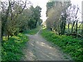
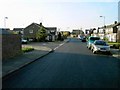
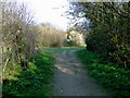
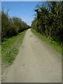
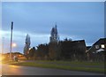
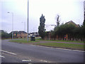
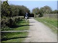
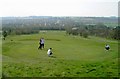
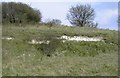
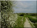
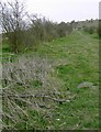
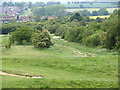
21 photos from this area
Area Information
Key information about the LU3 3NH including its size, population, and administrative classification.
- Area Type
- Postcode
- Area Size
- 2.3 hectares
- Population
- 1486
- Population Density
- 3755 people/km²
House Prices in LU3 3NH
26
Properties
£406,063
Average Sold Price
£65,000
Lowest Price
£750,000
Highest Price
Showing 26 properties
| Address | Type | Beds | Baths | Last Sale Price | Last Sale Date | |
|---|---|---|---|---|---|---|
| 212 Barton Road, Luton, LU3 3NH | Bungalow | 4 | 2 | £455,000 | Jun 2025 | |
| 222 Barton Road, Luton, LU3 3NH | Detached | 4 | 3 | £595,000 | Mar 2025 | |
| 204 Barton Road, Luton, LU3 3NH | Semi-detached | 3 | 2 | £475,000 | Mar 2024 | |
| 234 Barton Road, Luton, LU3 3NH | house | - | - | £620,000 | Sep 2023 | |
| 276 Barton Road, Luton, LU3 3NH | Semi-detached | 5 | 6 | £750,000 | Feb 2023 | |
| 198 Barton Road, Luton, LU3 3NH | Detached | 5 | - | £695,000 | Apr 2022 | |
| 232 Barton Road, Luton, LU3 3NH | house | - | - | £390,000 | Jun 2021 | |
| 216 Barton Road, Luton, LU3 3NH | Bungalow | 4 | 2 | £387,000 | Mar 2016 | |
| 200 Barton Road, Luton, LU3 3NH | Bungalow | - | - | £425,000 | Mar 2016 | |
| 196 Barton Road, Luton, LU3 3NH | house | - | - | £370,000 | Aug 2014 |
Page 1 of 3
Energy Efficiency in LU3 3NH
Amenities
Schools
| Rank | School | Type | Entry gender | Ages |
|---|
Explore more schools in this area
Go to Schools tabDemographics
Household Size
Family (3-5 people)
most common
Accommodation Type
Houses
most common
Tenure
81
majority
Ethnic Group
White
most common
Religion
N/A
most common
Household Composition
N/A
most common
Age
47
median
Adults (30-64 years)
most common
Household Deprivation
N/A
with no deprivation
NS-SEC
36
in Lower managerial occupations
Explore more demographic insights in this area
Go to Demographics tabPlanning
Planning Constraints
- Flood RiskPremium
- Ramsar Wetland SitesPremium
- Area of Outstanding Natural BeautyPremium
- Protected Nature ReservePremium
- Protected WoodlandPremium